Huntington Beach TribuneBeaches
Saturday, November 21, 2026 Search Subscribe
Huntington Beach, covered daily

High Surf Advisory Expires at Huntington Beach, With Surf Set to Rebuild as a Storm Arrives Thursday

The weather service let the advisory lapse at 4 a.m. Wednesday and puts today’s Orange County surf at 3 to 6 feet, with the rip current risk still high. A stronger storm brings rain on Thursday and lifts the surf again into Friday.
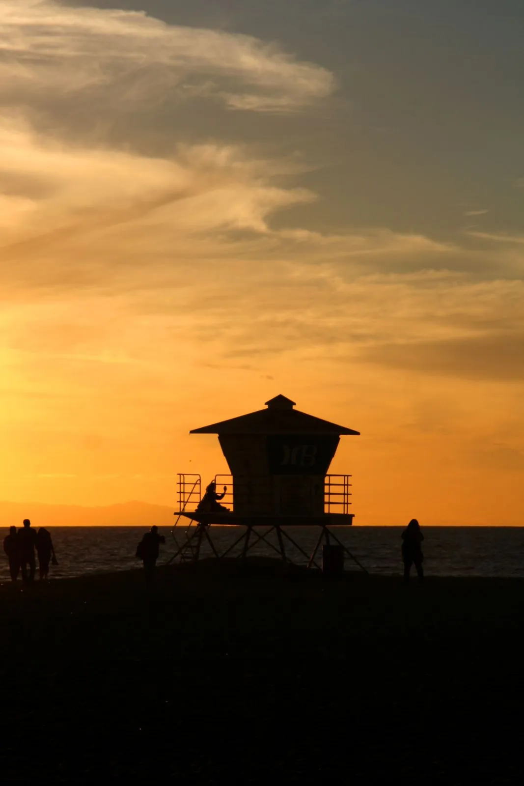
A lifeguard tower at Huntington Beach at sunset, in a file photograph. The high surf advisory expired at 4 a.m. Wednesday, but the weather service still rates the rip current risk as high today and Thursday.
Jsalatas, CC BY-SA 4.0, via Wikimedia Commons · Source

The high surf advisory at Huntington Beach is over. A coastal hazard message the National Weather Service office in San Diego issued at 4:05 a.m. on Wednesday, Nov. 18 states that the advisory has expired for the Orange County and San Diego County coastal areas. The advisory had run until 4 a.m. on Wednesday, and its expiry closes a stretch of high surf bulletins that covered the city’s shoreline through the first half of the week.

The water has not settled with the advisory. The same office’s surf zone forecast, issued at 4:07 a.m. on Wednesday, puts the Orange County surf height at 3 to 6 feet today and keeps the rip current risk at high, with water temperatures of 70 to 73 degrees, no thunderstorms expected, and a west swell from 270 degrees. Observed tides are running 1.2 to 1.4 feet above astronomical tide predictions. At Newport Beach, the forecast lists high tides of 4.2 feet at 4:55 a.m. and 3.7 feet at 4:02 p.m. today, with low tides of 2.4 feet at 10:50 a.m. and 0.9 feet at 10:31 p.m.
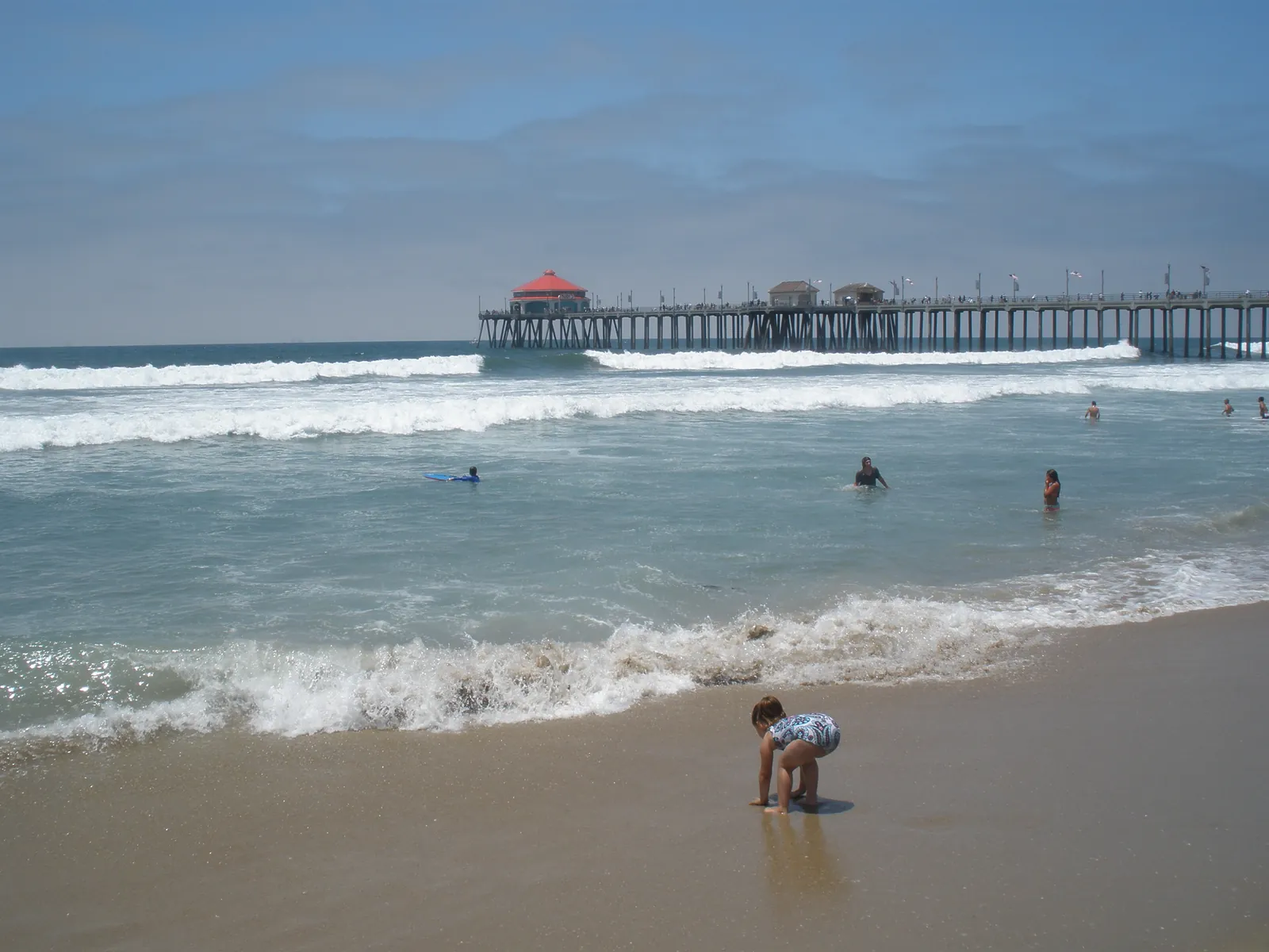
File photo: waves break in lines in front of the Huntington Beach Pier as swimmers wade in the shorebreak. The surf zone forecast puts today's Orange County surf height at 3 to 6 feet, rising to 4 to 7 feet on Thursday.
Imscarr, CC BY-SA 4.0, via Wikimedia Commons · Source

The office’s area forecast discussion, updated at 4:10 a.m. on Wednesday, describes a brief decrease only. The shorter period northwest swell wanes through this evening, leaving a 3 to 5 foot swell at a 13 to 14 second period for today and surf down to 3 to 5 feet, before northwesterly swell builds again on Thursday and elevates the surf once more by later in the evening and into early Friday. The surf zone forecast is in step with that turn: Thursday’s Orange County surf height rises to 4 to 7 feet, the rip current risk stays high, a slight chance of thunderstorms appears, and the swell direction swings to 240 degrees.

The rebuild rides in with a storm. The discussion expects rain and isolated thunderstorms on Thursday into Thursday night as a storm system moves through California, with rain intense along the front at rates of 0.50 to 0.65 inches per hour that could produce some urban flooding, and coastal wind gusts exceeding 25 to 30 mph ahead of and along the front. Offshore, a small craft advisory runs from 4 a.m. Thursday to 10 a.m. Friday, with steep, high seas of 7 to 10 feet and wind gusts peaking at 20 to 30 knots from Thursday into Friday morning. The discussion also keeps coastal flooding in the picture at times through the rest of the week, and notes that King Tides are expected to peak next week, with chances of tides exceeding 7 feet starting as early as Saturday, Nov. 21.
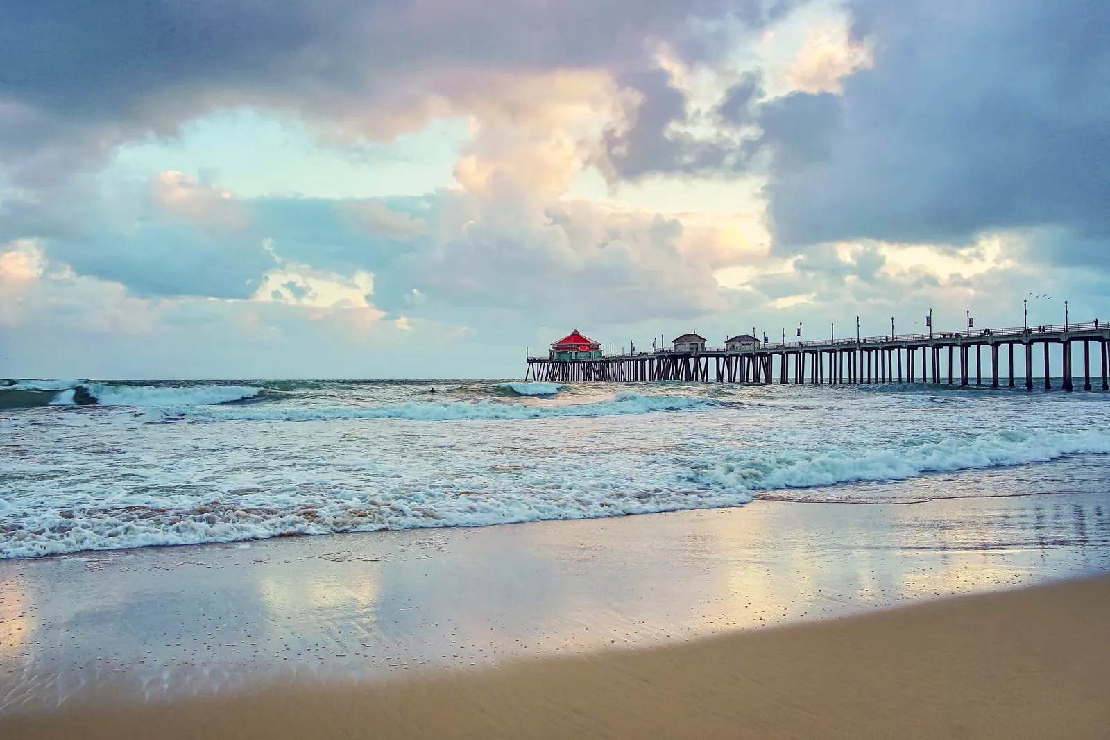
File photo: storm clouds gather over the Huntington Beach Pier as surf breaks on the sand. A storm system brings rain and isolated thunderstorms on Thursday, with a small craft advisory from 4 a.m. Thursday to 10 a.m. Friday.
Vanessa Kay, CC BY 3.0, via Wikimedia Commons · Source
Filed under:
  • beaches
  • weather
  • National Weather Service
  • high surf advisory
  • rip currents
Huntington Beach Tribune
Corrections
We correct errors promptly and note them here. Request a correction through our contact form.
More from Beaches

Coastal Flood Advisory Starts Sunday, With a Watch for Significant Flooding Tuesday Through Thursday

The National Weather Service has a Coastal Flood Advisory in effect for the Orange County coast from 4 a.m. Sunday to 4 a.m. Tuesday, then a Coastal Flood Watch from Tuesday morning through Thursday afternoon, with morning high tides reaching 7.9 to 8.2 feet and peaking on Wednesday.

By Huntington Beach Tribune · Nov 21, 2026

City and Caltrans to Close PCH and Harbour Streets on Weekday Mornings Next Week for King Tides

Temporary closures run generally from 6 a.m. to 2 p.m. from Monday, Nov. 23 through Friday, Nov. 27 on Pacific Coast Highway between Seal Beach Boulevard and Warner Avenue and on seven more segments around Huntington Harbour and Sunset Beach, in a week when forecast tides reach as high as 8.9 feet.

By Huntington Beach Tribune · Nov 20, 2026

Storm Reaches Huntington Beach on Thursday, With a Beach Hazards Statement Through Friday Morning

Rain from a storm system moving through California is expected to reach Orange County around midmorning and turn heavier along the front. Surf of 3 to 5 feet, a high rip current risk and possible coastal flooding at high tide keep the shoreline under a beach hazards statement until Friday morning.

By Huntington Beach Tribune · Nov 19, 2026
Read nextCoastal Flood Advisory Starts Sunday, With a Watch for Significant Flooding Tuesday Through Thursday