Coastal Flood Advisory Starts Sunday, With a Watch for Significant Flooding Tuesday Through Thursday
The National Weather Service has a Coastal Flood Advisory in effect for the Orange County coast from 4 a.m. Sunday to 4 a.m. Tuesday, then a Coastal Flood Watch from Tuesday morning through Thursday afternoon, with morning high tides reaching 7.9 to 8.2 feet and peaking on Wednesday.
The National Weather Service office in San Diego has put the Orange County coast under a Coastal Flood Advisory from 4 a.m. Sunday, Nov. 22 to 4 a.m. Tuesday, Nov. 24, and under a Coastal Flood Watch from Tuesday morning through Thursday afternoon, Nov. 26. The advisory covers minor coastal flooding, and the watch covers the possibility of significant coastal flooding. Both products, set out in a Coastal Hazard Message issued at 9:51 p.m. on Friday, Nov. 20, name the Orange County and San Diego County coastal areas.
The tide pattern behind the two products builds through the week. The weather service says morning high tides will rise through next week and pass 7 feet by Sunday. The highest tides arrive Tuesday through Thursday and peak on Wednesday, with the morning high tide on each of those three days reaching 7.9 to 8.2 feet. Surf running on top of the tides stays around 3 to 5 feet through Wednesday, and a swell arriving Wednesday into Thursday could bring notably higher surf from Thursday. The office notes that its tide figures have been adjusted above the baseline astronomical predictions, following trends in recent observations. Its Saturday morning forecast discussion carries the same tide figures and the same advisory and watch windows.
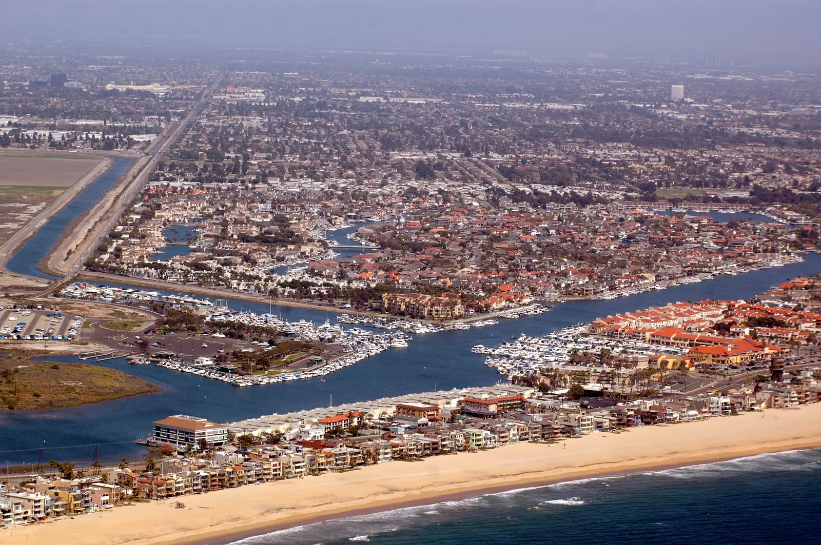
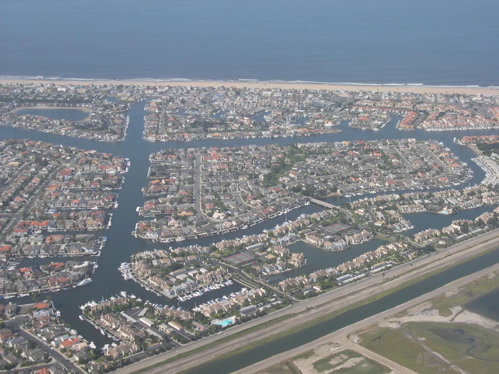
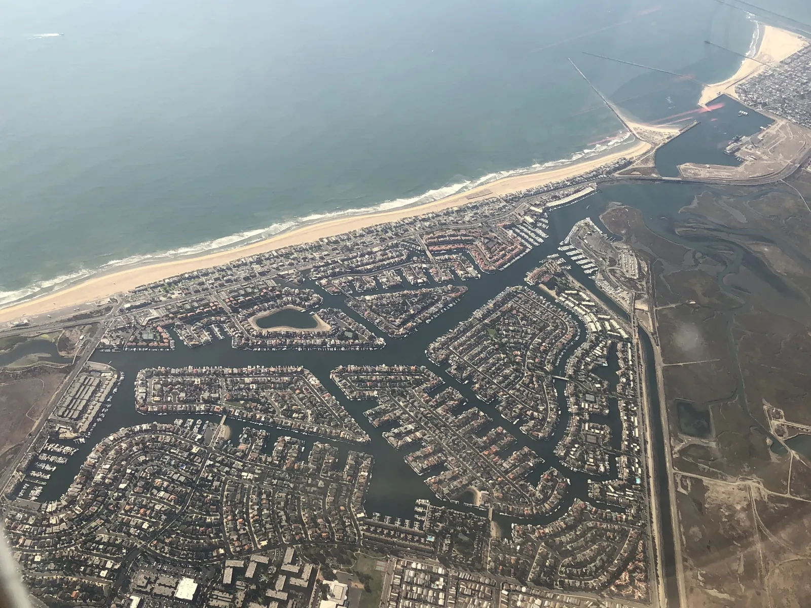
The hazard message lists the expected effects plainly: streets across the low ground may have to shut, homes and businesses in the lowest places could take on water along with some critical infrastructure, and parts of the shoreline may erode. It asks anyone who has to travel to allow extra time, to stay out of water of unknown depth and away from barricades, and to take the steps that protect flood prone property. In Huntington Beach the closure plan is already published. A city notice posted on Nov. 19 says the city and Caltrans will close low lying roads from Monday, Nov. 23 through Friday, Nov. 27, generally from 6 a.m. to 2 p.m., with Pacific Coast Highway closed in both directions from Seal Beach Boulevard to Warner Avenue and seven more segments around Huntington Harbour and Sunset Beach on the list.
The city own forecast for the week, published on Nov. 12, put the high tides for Nov. 22 through Nov. 27 at between 7.8 and 8.9 feet. That range sits above the weather service current range for Tuesday through Thursday, and the two forecasts come from different offices a week apart, so readers should treat the weather service figures as the current ones for the peak days. In that earlier city forecast, the tides were expected to arrive at roughly 6:30 a.m. to 10:15 a.m. and to rival, perhaps even top, the 8.2 foot October tides that set the local record, leaving Harbour and Sunset Beach homes among the places exposed. Residents who need to armour a doorway before the water arrives can pick up free sand and sandbags at four city sites named in that advisory: the Warner Fire Station on Warner Avenue at number 3831, the Edison Community Center on Magnolia Street at number 21377, the Corporate Yard on Gothard Street at number 17371, and Meadowlark Golf Club on Graham Street at number 16782, where the supply is available at all hours.
We correct errors promptly and note them here. Request a correction through our contact form.