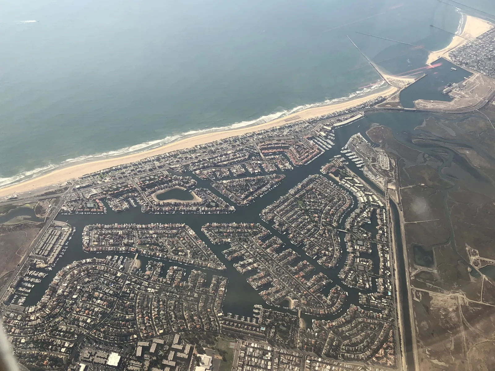
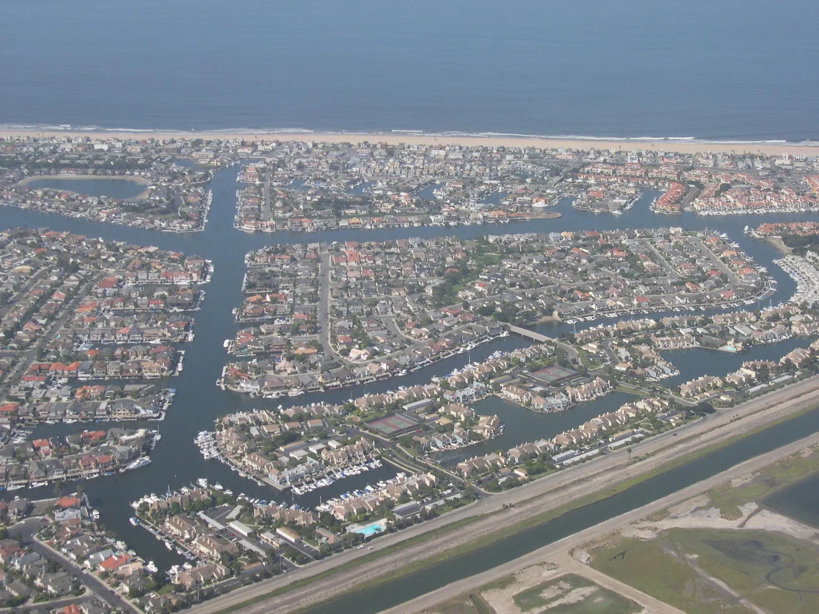
Storm Reaches Huntington Beach on Thursday, With a Beach Hazards Statement Through Friday Morning
Rain from a storm system moving through California is expected to reach Orange County around midmorning and turn heavier along the front. Surf of 3 to 5 feet, a high rip current risk and possible coastal flooding at high tide keep the shoreline under a beach hazards statement until Friday morning.
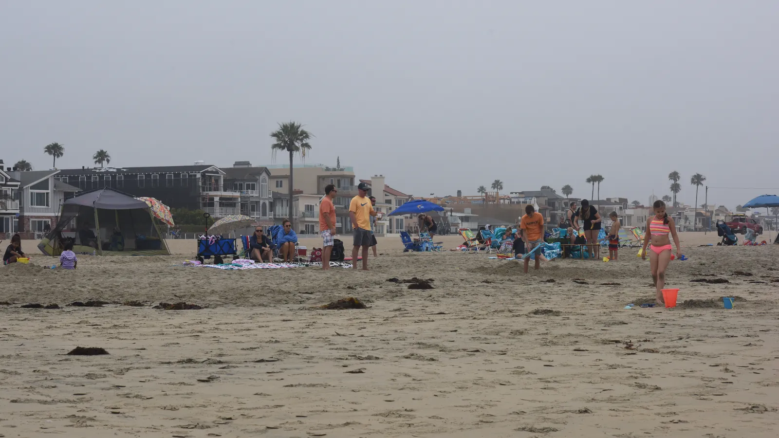
The storm the forecast has carried all week is arriving on schedule. A coastal hazard message the National Weather Service office in San Diego issued at 1:33 a.m. on Thursday, Nov. 19 keeps a beach hazards statement in effect for the Orange County coastal areas from 6 a.m. Thursday through Friday morning. The statement covers surf of 3 to 5 feet, with sets to 7 feet along west facing beaches, a heightened risk of rip currents, and the chance that the morning high tides push water across boardwalks and into parking lots in low spots along the shore.
For the water itself, the office’s surf zone forecast, issued at 1:32 a.m. on Thursday, gives Orange County a surf height of 3 to 5 feet today, sets reaching 6 feet, and a high rip current risk, alongside water temperatures of 72 to 74 degrees and a slight chance of thunderstorms. The swell arrives from 270 degrees, and the tides are running high: observed levels sit 1.2 to 1.4 feet above the astronomical predictions. Newport Beach sees its higher high tide early, 4.7 feet at 5:17 a.m., then a low of 1.7 feet at 11:38 a.m., a second high of 3.7 feet at 5:10 p.m. and a low of 1.1 feet at 11:06 p.m. Friday brings a step down on both measures, surf height of 2 to 4 feet with sets to 6 feet and the rip risk easing to moderate.

The office’s area forecast discussion, issued at 3:33 a.m. on Thursday, says very light precipitation has begun well ahead of the main band, with heavier rain reaching Orange County beginning around 10 a.m. and moving southeast through the afternoon. Maximum rainfall rates are put near 0.50 to 0.75 inches per hour north of San Diego County, enough to produce roadway flooding especially in poor drainage areas, and storm totals are put at around 0.40 to 0.75 inches for Orange County, locally up to 1 inch near the Los Angeles County border. Gusts along the coast run closer to 25 to 35 mph as the front passes this afternoon, and slight thunderstorm chances cover the coastal waters east into the western valleys.
Offshore, a small craft advisory stays in effect until 10 a.m. Friday. The discussion’s beaches section says northwesterly swell builds today and elevates surf through early Friday, with strong rip currents and minor coastal flooding during high tides, before dry but cool weather follows Friday through Sunday. The same section also looks ahead to the tides: a peak in the King Tides is expected next week, and tides above 7 feet become possible as early as Saturday, Nov. 21.
We correct errors promptly and note them here. Request a correction through our contact form.