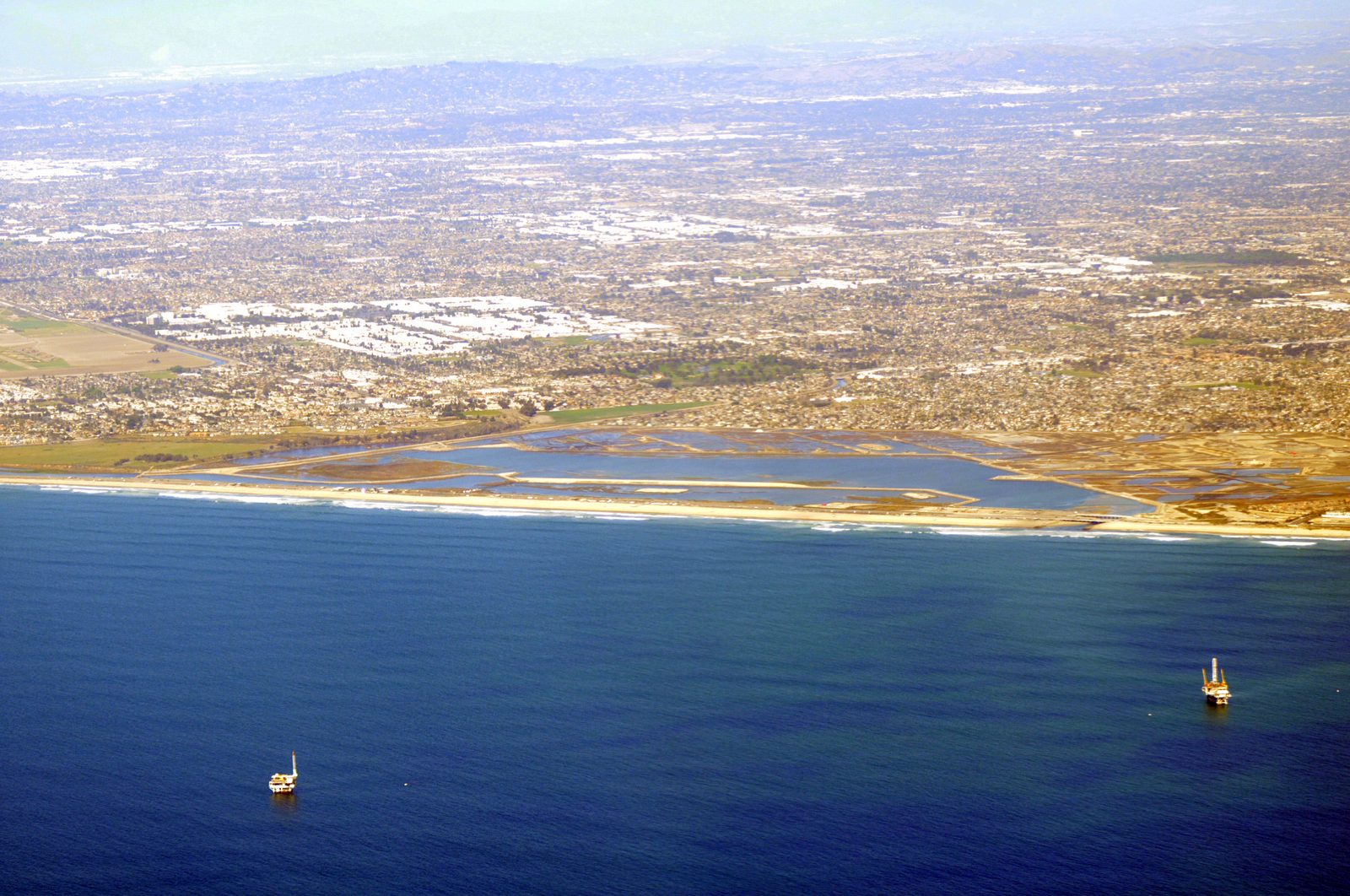
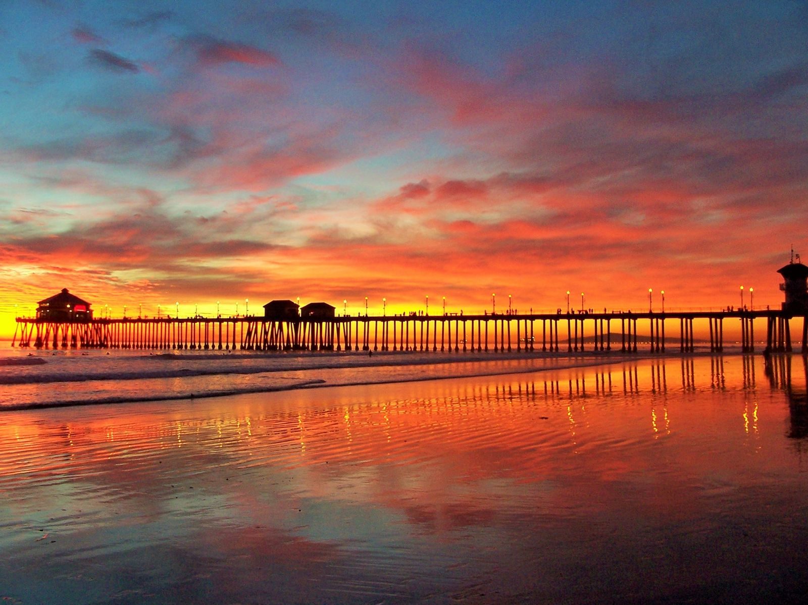
Rachel strikes Baja overnight as Huntington Beach faces Sunday's peak flood threat
The city activated its emergency operations center Friday, and forecasters warn the combination of high tide, onshore wind and swell will bring the most dangerous coastal flooding of the weekend around the Sunday morning high tide.
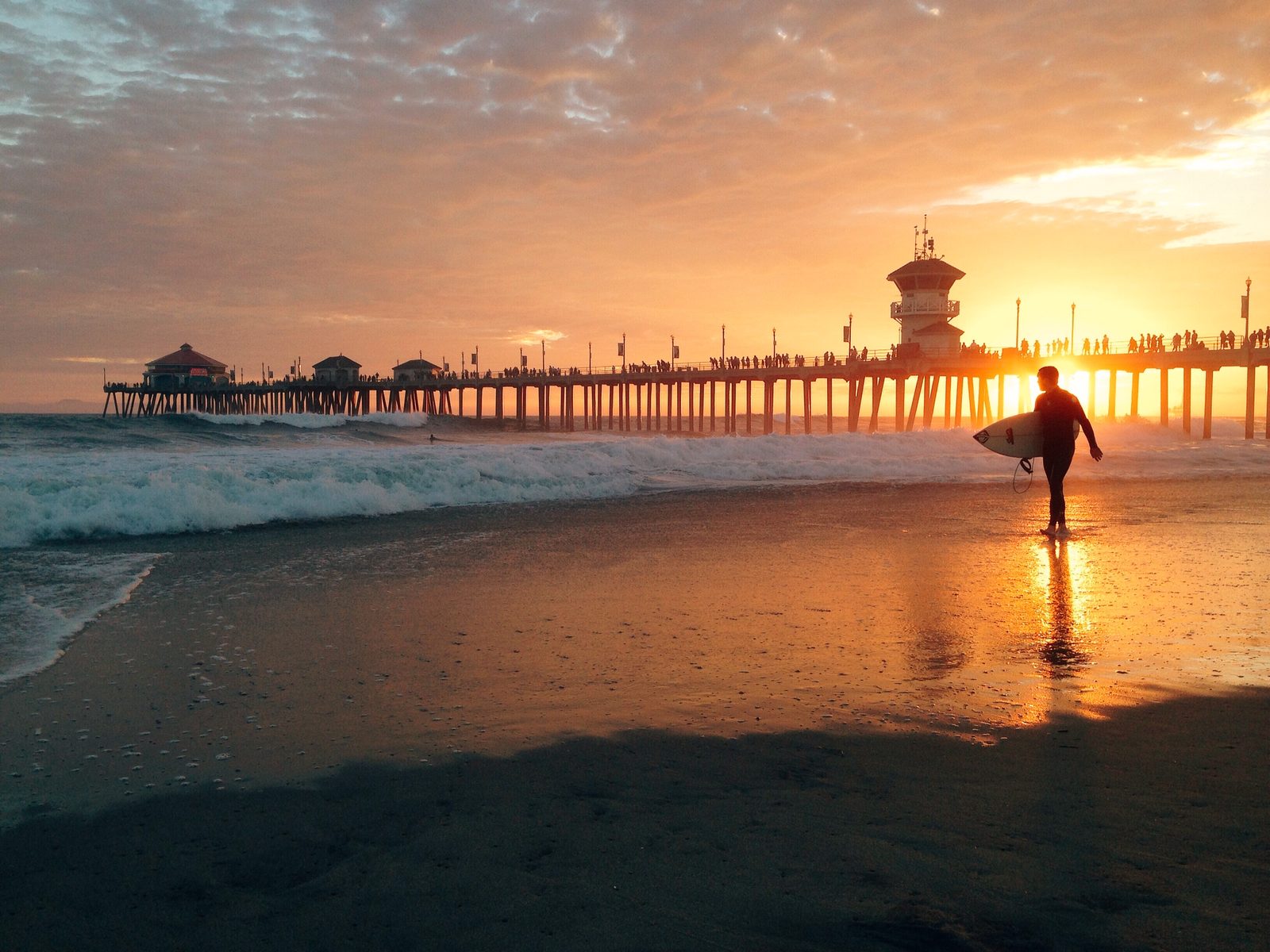
Post-Tropical Cyclone Rachel moved onshore in northern Baja California just south of the United States early Sunday morning, after weakening from a tropical storm Saturday night. The storm's moisture, riding onshore winds and high tides, set up the most dangerous coastal flooding of the weekend for Southern California on Sunday morning.
The storm was positioned about 190 miles south of San Diego at 8 p.m. Saturday and made landfall south of the U.S.-Mexico border overnight, QNC News reported. The center had been forecast to move onshore in northern Baja California on Saturday night, the Los Angeles Times reported, a strikingly rare landfall for the region.
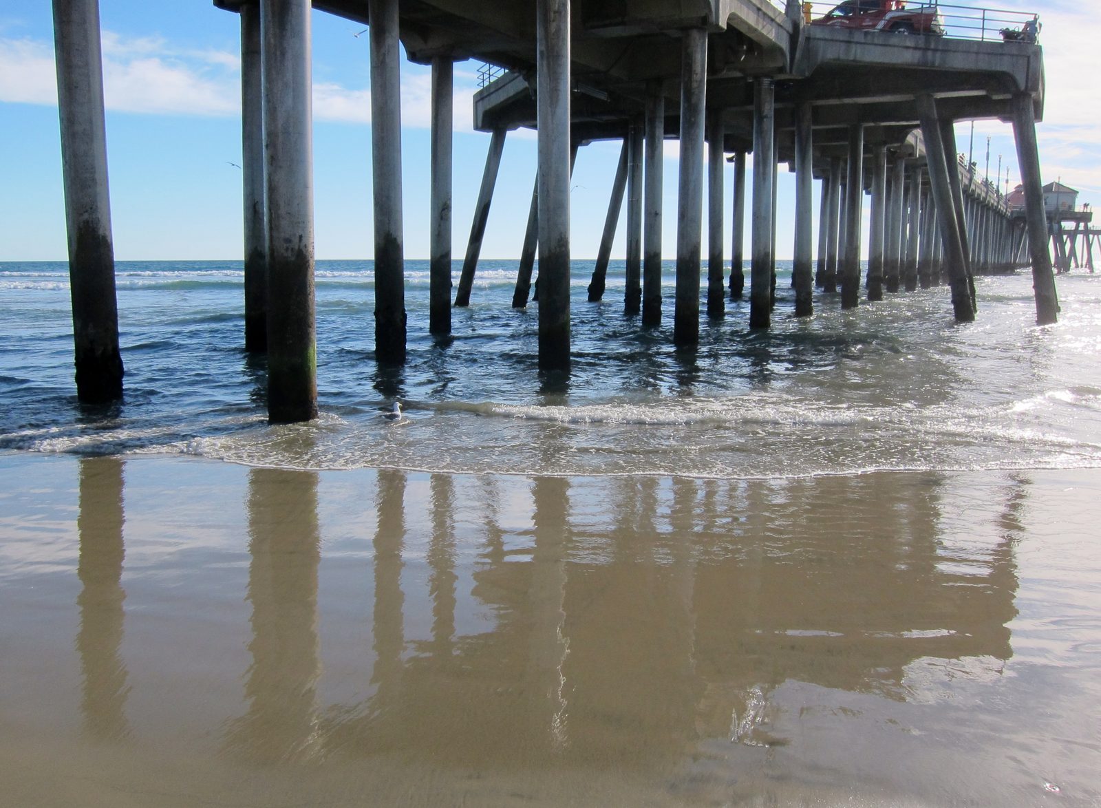
Huntington Beach activated its emergency operations center Friday as the storm approached, the city said. Across the region, emergency operations centers stood up and residents prepared by lining homes with sandbags and monitoring conditions closely.
The National Weather Service said Sunday morning carries the highest flooding risk along the Orange and San Diego coasts, as swells, onshore winds and high tides combine. "Damaging sea-water coastal flooding is likely through Sunday, especially near the Sunday morning high tide where anticipated tide levels are expected to be around 8 feet," the Weather Service said Saturday. A coastal flood warning covers Orange County coastal areas through 3 p.m. Sunday.
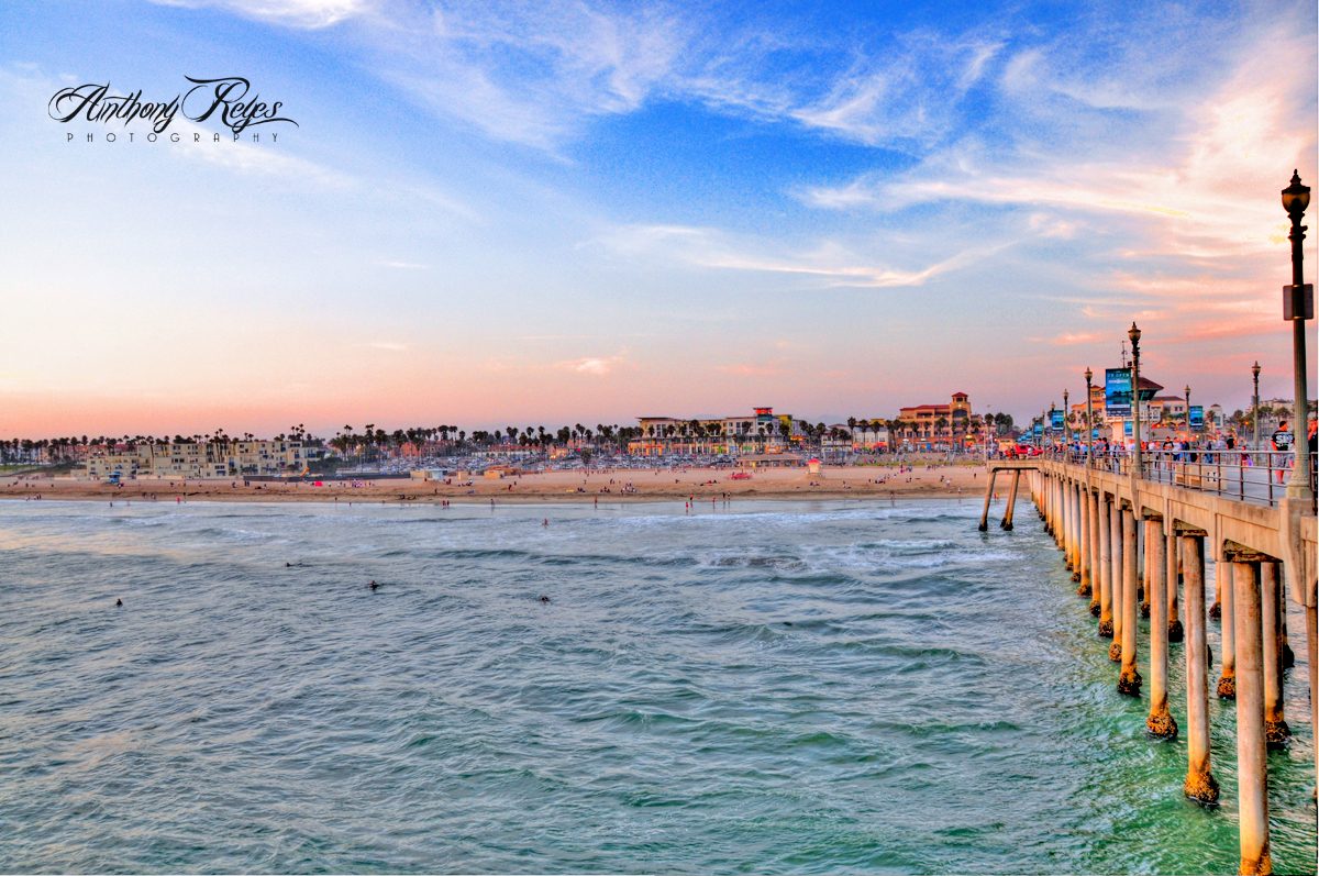
A beach hazards statement takes effect from 6 a.m. to 10 p.m. Sunday, with surf of 5 to 7 feet and local sets up to 9 feet, followed by a coastal flood advisory from 3 p.m. Sunday through 2 p.m. Tuesday. Surf could reach 6 to 9 feet, highest at south-facing beaches, especially in Orange County, National Weather Service meteorologist Adam Roser said.
Neighboring cities are already taking damage. Newport Beach declared a local emergency Friday after overnight flooding hit the Balboa Peninsula, closed all city beaches and piers Saturday morning, then reopened the beaches by early afternoon while the Newport Pier, Balboa Pier and the Wedge, from the rock jetty to M Street, stayed closed. Sunday's morning high tide at Newport Beach is forecast to reach 7.6 feet at 9:48 a.m.
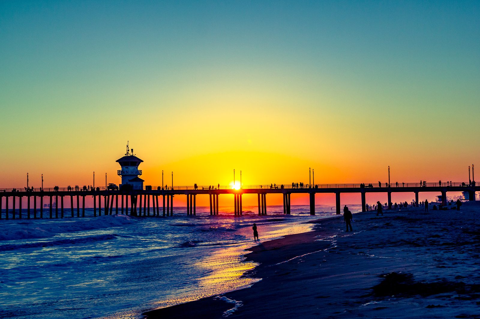
In Long Beach, a mandatory evacuation order covers homes on Seaside Walk between 64th and 66th places, in effect from 7 p.m. Friday through noon Tuesday. Waves topped the bulkhead and pushed water into homes and streets; inspectors red-tagged eight buildings across 13 addresses and yellow-tagged at least one. "Our infrastructure was not built for this," Long Beach Mayor Rex Richardson said.
The Weather Service urged beachgoers to remain out of the water and warned motorists not to drive through flooded roads or around barricades.
We correct errors promptly and note them here. Request a correction through our contact form.