Hurricane Rachel swell brings 4-to-6-foot surf and rip current warnings to Huntington Beach
National Weather Service forecasters warned of life-threatening rip currents across Orange County through the week as Rachel turns back toward the coast; the system could approach as a post-tropical cyclone early Sunday.
Hurricane Rachel turned around. After spending days drifting harmlessly westward into the open Pacific, the storm is now bending back toward Baja California and Southern California with dangerous surf and flooding risk, and Huntington Beach was already feeling its energy Wednesday.
The National Hurricane Center said Rachel would slow before making a sharp turn to the northeast by the end of the week, accelerating back toward Baja California and Southern California. As of Wednesday afternoon, Rachel remained a Category 1 hurricane with 80-mph sustained winds roughly 800 miles west of southern Baja, with peak seas around the storm running about 35 feet.
The storm should weaken over cooler water and could be post-tropical before reaching land, potentially somewhere in northern Baja or near the U.S.-Mexico border Sunday. Forecasters said considerable uncertainty remains once the turn begins. Current forecasts show Rachel approaching Southern California as a post-tropical cyclone early Sunday, with a projected landfall area roughly 100 miles south of San Diego, though the forecast cone stretches as far north as Orange County.
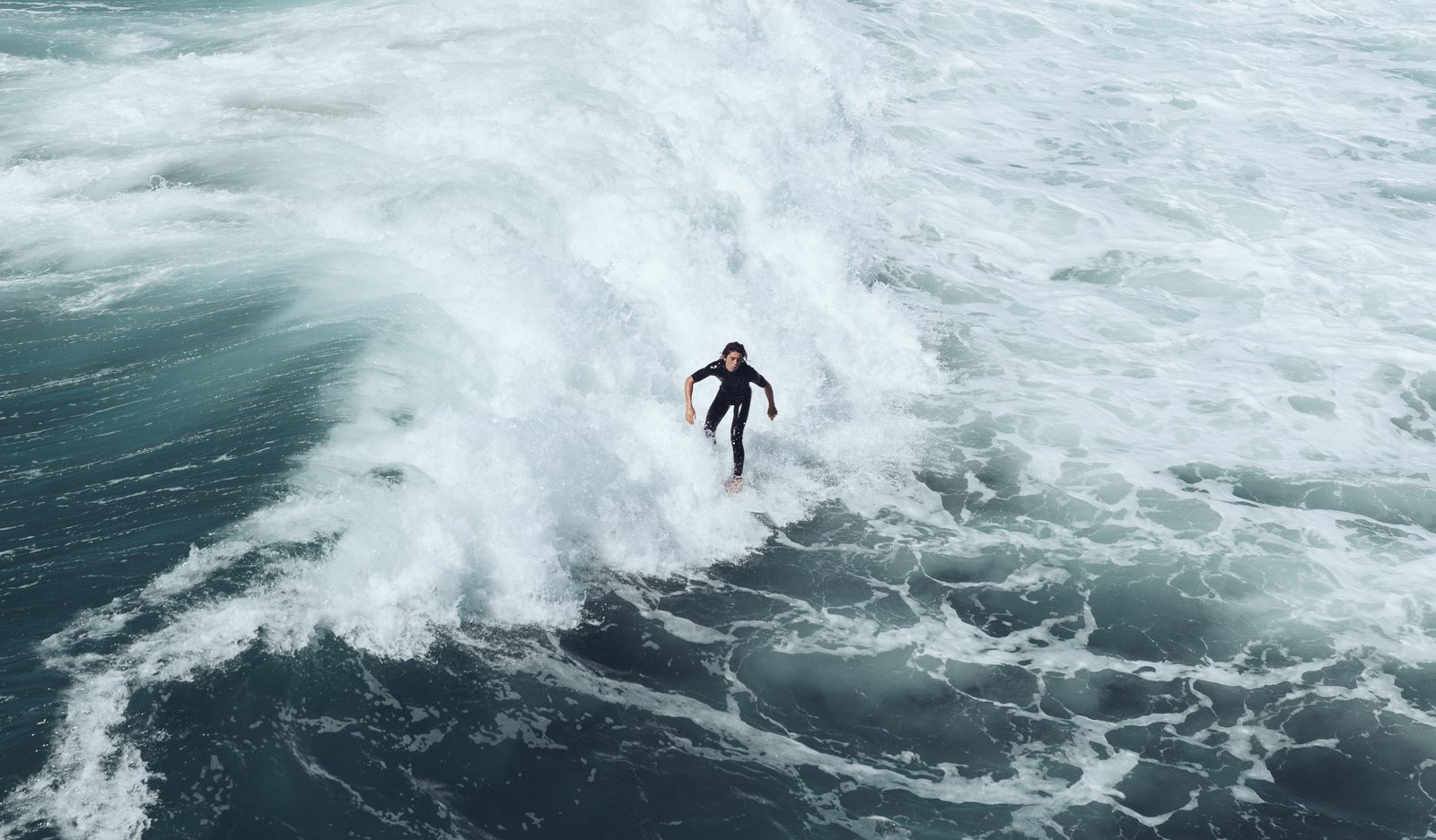
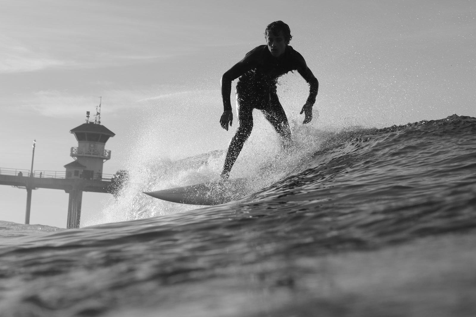
Waves at Huntington Beach were already running roughly 4 to 6 feet Wednesday. The National Weather Service expects 3-to-6-foot surf across Orange and San Diego counties, dangerous rip currents, and coastal flooding around 6.5-to-7-foot tides. Beach hazard warnings and coastal flood advisories were in effect for Los Angeles, Ventura, Orange, and San Diego counties, and the weather service warned that forecasters could see life-threatening rip currents and surf reaching 5 to 6 feet in some areas.
"If you're a beginner...it's not a good idea to go out there right now," one surfer told KTLA at the beach Wednesday. "Very hazardous, breaking really hard on the sand, lots of rip, lots of undercurrents."
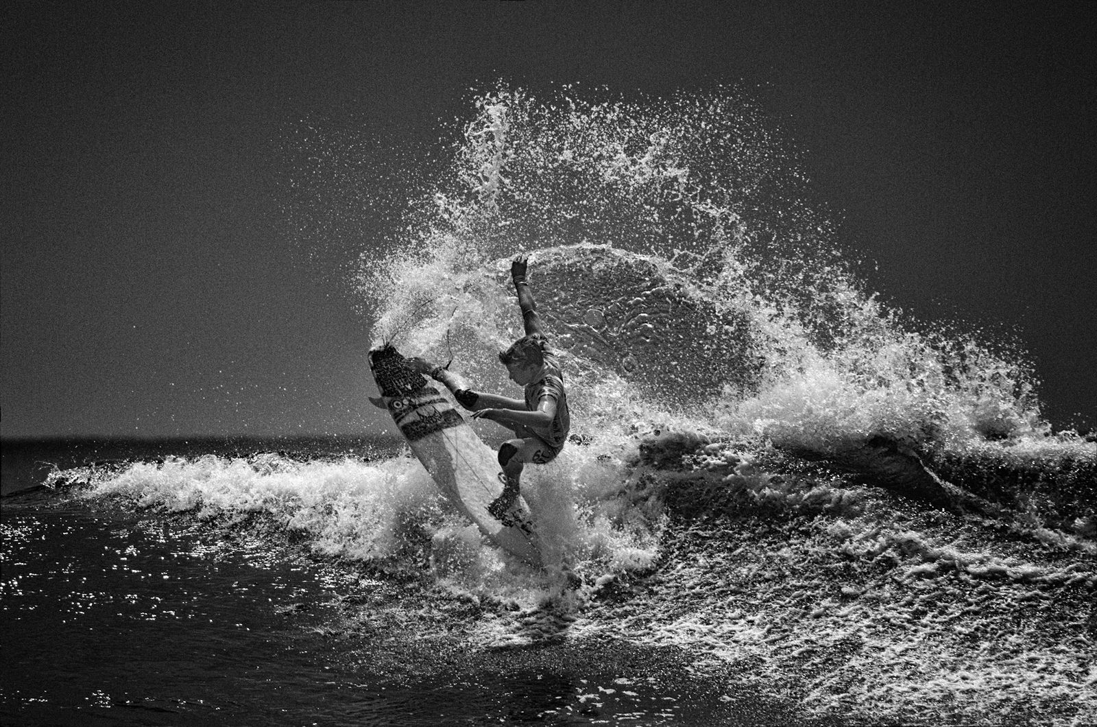
Part of what makes Rachel unusual is the direction of its swell. Rose Schoenfeld, a meteorologist with the National Weather Service, said southerly swells generated by tropical systems coming from the south "can be more impactful" than what the Southern California coast typically sees. "Because it's not typically a direction that our swell generally comes from," she explained in an interview Wednesday, noting that the southerly direction hits beaches that don't always get as much high surf and can raise the risk of rip currents, which "can be very hazardous, especially for inexperienced swimmers."
The National Hurricane Center warns Rachel's swells will continue building along Southern California through the weekend, producing "life-threatening surf and rip current conditions." Then there is rain: the weather service projects around half an inch for Los Angeles and Ventura counties, while eastern Los Angeles County mountains could receive up to 2 inches, with thunderstorms possible.
Forecasters offered straightforward safety advice for the week: always swim near a lifeguard, be aware of your experience level, and know what to do if caught in a rip current. "There's very specific advice about being caught in a rip current," Schoenfeld said. "You don't want to fight it. You want to swim parallel to the coast until you feel that current kind of let up."
We correct errors promptly and note them here. Request a correction through our contact form.