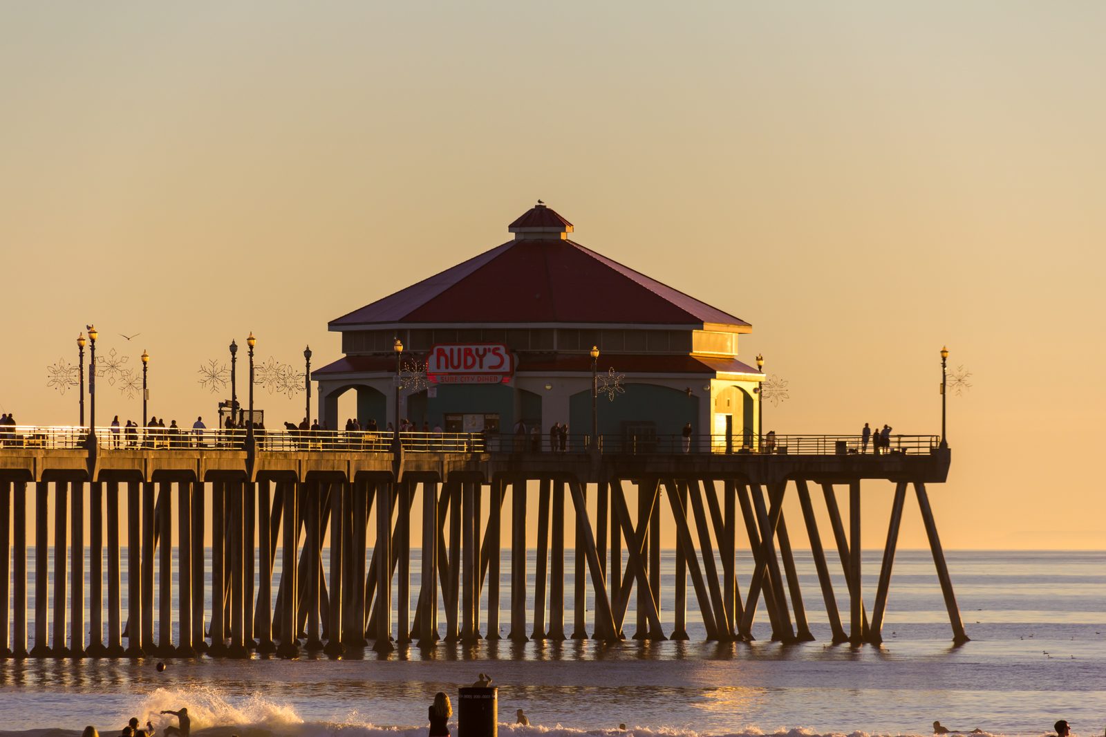
Tropical Storm Rachel puts Huntington Beach under coastal flood warning through Sunday afternoon
Storm clouds gathered over the Huntington Beach Pier on Saturday morning, Oct. 10, as the National Weather Service warned of significant coastal flooding, dangerous surf and a high rip current risk through the weekend.
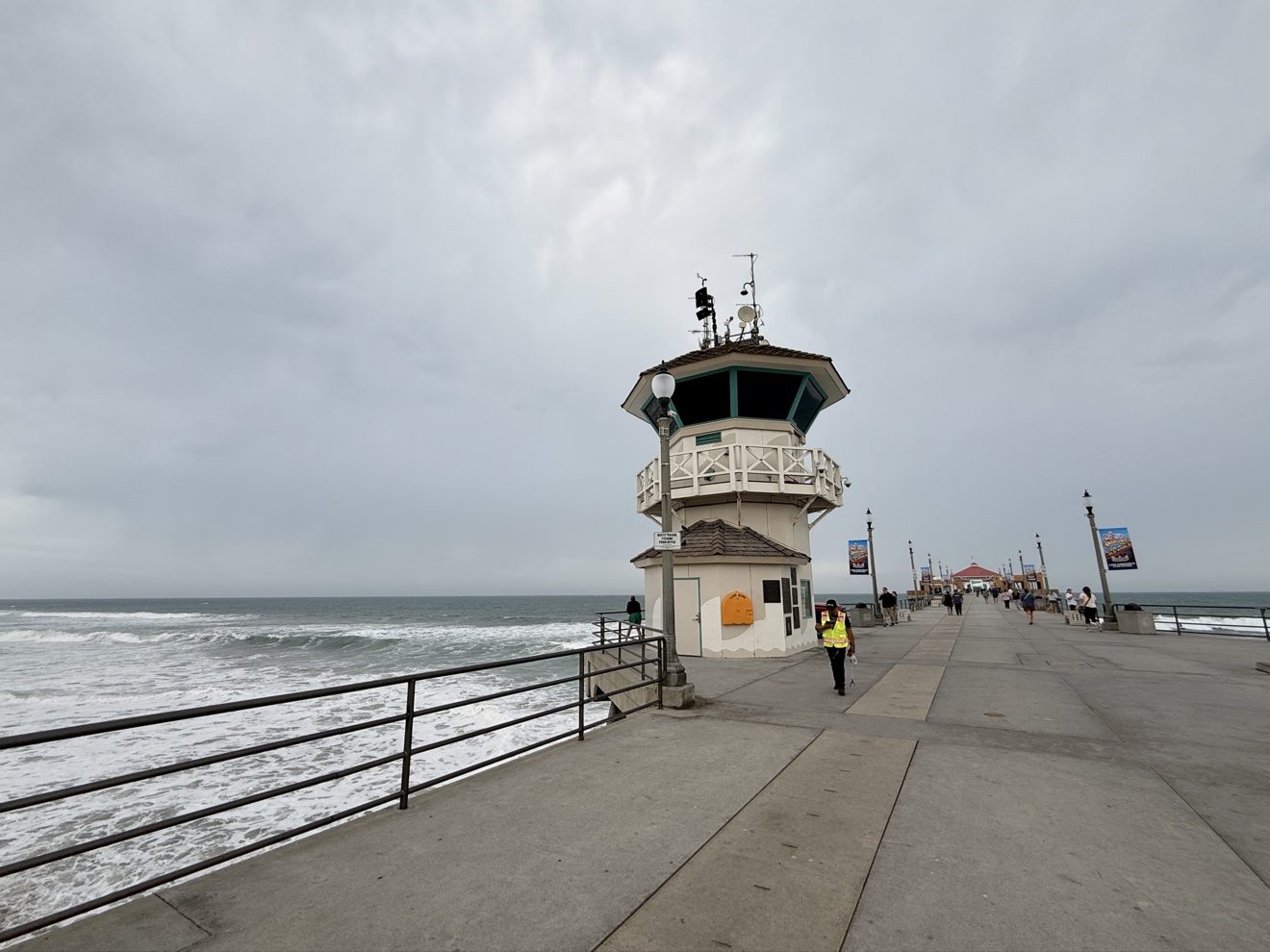
Saturday morning on the Huntington Beach Pier looked like the inside of a storm that had not finished arriving. Heavy gray clouds stacked over the water, surf churned white against the sand, and early visitors watched the ocean build toward what the National Weather Service says will be a rough weekend.
The cause is Tropical Storm Rachel, bearing down on Southern California. The state is under only its second-ever tropical storm watch, and the system's moisture is already pushing onshore winds, rain and heavy surf into Orange County.
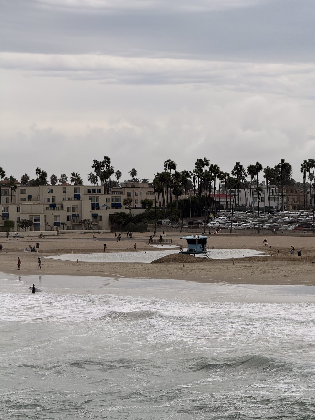
The National Weather Service office in San Diego issued a coastal flood warning for Orange County coastal areas at 2:03 a.m. Saturday. It remains in effect until 3 p.m. Sunday, Oct. 11. Forecasters say significant coastal flooding and erosion are likely, with numerous roads and walking paths possibly closed by high water, low-lying property at risk of flooding, shoreline erosion during the morning high tides, and a high risk of rip currents.
Coastal flood warning (severe): in effect now through 3 p.m. Sunday, Oct. 11. Significant coastal flooding and erosion likely; high rip current risk.
Beach hazards statement (moderate): 6 a.m. to 10 p.m. Sunday, Oct. 11. Surf of 5 to 7 feet with local sets up to 9 feet.
Coastal flood advisory (minor): 3 p.m. Sunday, Oct. 11 through 2 p.m. Tuesday, Oct. 13. Minor coastal flooding expected.
Small craft advisory: coastal waters from 6 p.m. Saturday through 9 p.m. Sunday. Hazardous sea conditions for smaller vessels.
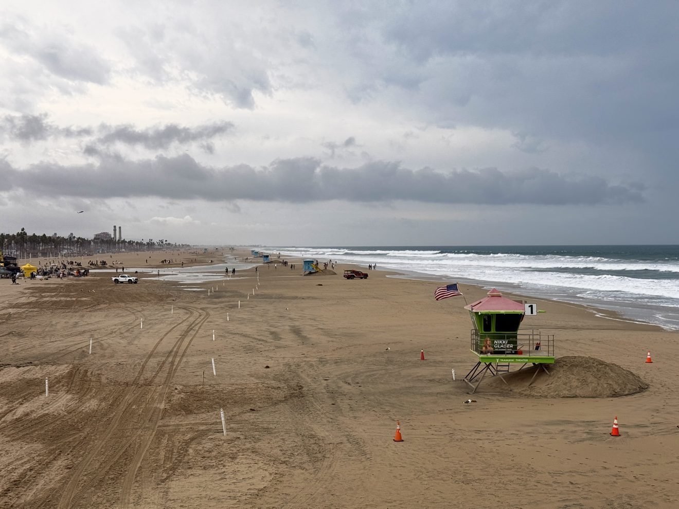
Today's surf is running 3 to 5 feet with sets to 6 feet, building to 5 to 8 feet with sets to 9 feet on Sunday, according to the Surf Zone Forecast. The rip current risk is rated high both days. Water temperatures are 72 to 74 degrees.
The Weather Service urged beachgoers to remain out of the water and warned motorists not to drive through flooded roads or around barricades.
On the rain timing: periods of light to moderate showers begin developing Saturday evening, with the highest probability of rain Sunday morning through the afternoon as tropical moisture peaks. A second, colder low-pressure system moves in Sunday night into Monday with additional scattered showers, tapering Tuesday before the region dries Wednesday.
For pier and beach visitors, the message is simple: expect a wet, windy weekend with dangerous water, and check the latest National Weather Service alerts before heading to the coast.
We correct errors promptly and note them here. Request a correction through our contact form.