Rachel turns back toward Southern California as a weakening tropical storm
The National Hurricane Center expects a sharp northeast turn toward Baja and Southern California by the end of the week, with life-threatening surf and rip currents building through the weekend and coastal flooding likely Sunday into Wednesday.
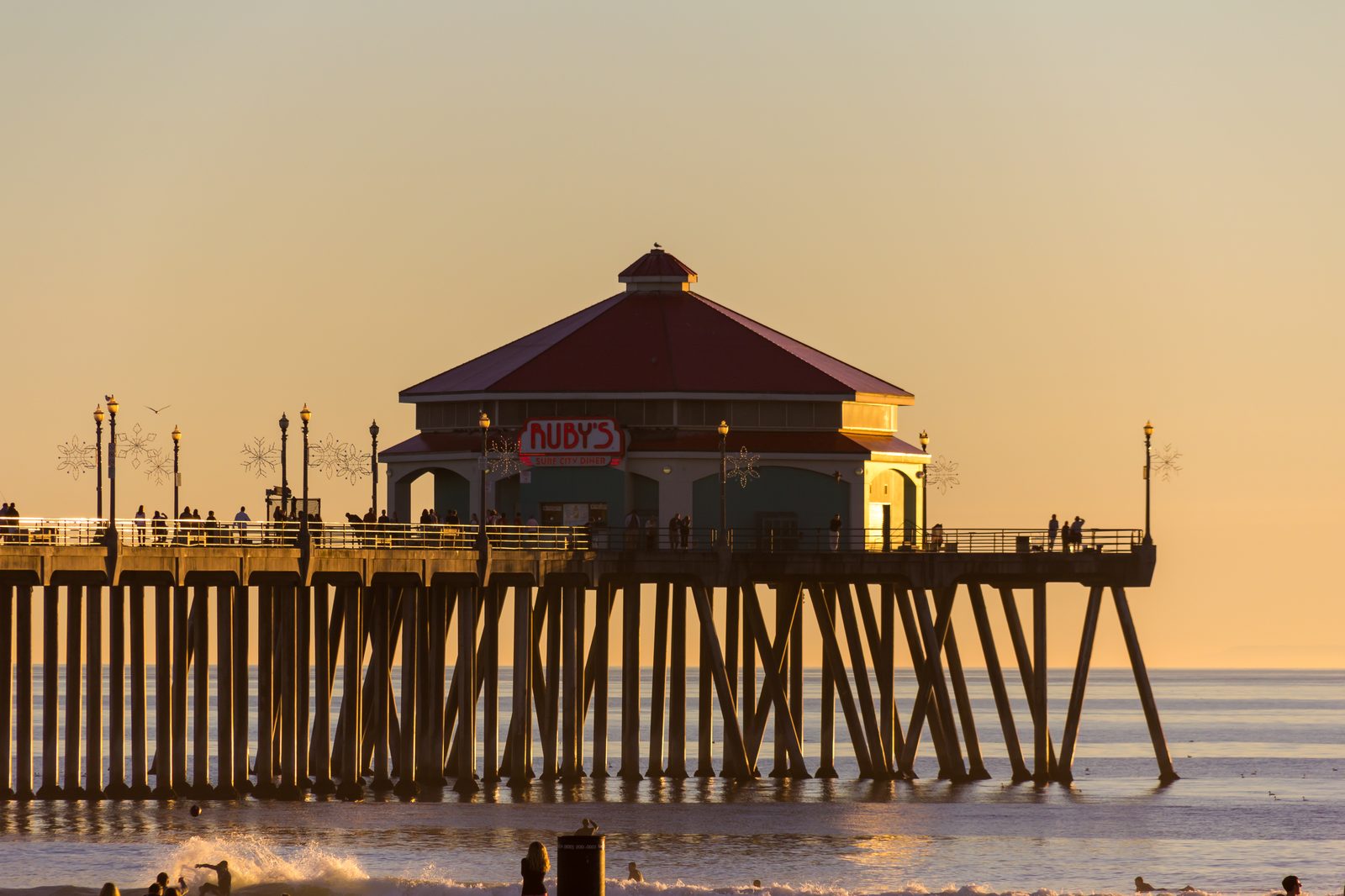
Hurricane Rachel spent days spinning safely westward into the open Pacific, doing what most Eastern Pacific hurricanes do. Now it is turning around, and Southern California is already feeling the ocean effects.
The National Hurricane Center said the system would slow down and then make a sharp turn to the northeast by the end of the week, accelerating back toward Baja California and Southern California. As of Thursday evening, Rachel had weakened to a tropical storm about 995 miles west of southern Baja California with maximum sustained winds of 60 mph, down from a Category 1 hurricane with 80-mph winds roughly 800 miles west of southern Baja on Wednesday afternoon.

The projected turn is highly unusual, though not unprecedented. Eastern Pacific hurricanes are normally steered westward away from California; this time an approaching upper-level trough is expected to essentially grab Rachel and pull it northeast. Forecasters expect the system to weaken over cooler water and to be post-tropical before reaching land, possibly somewhere in northern Baja or near the U.S.-Mexico border Sunday, though forecasters stressed there remains considerable uncertainty once the turn begins.
Forecasts show Rachel's remnants arriving early Sunday, coming ashore about 100 miles south of San Diego, but the path could shift as far north as Orange County. The National Weather Service says a large weather system moving in from the northwest will push Rachel off course: the agency said this would cause Rachel to slow down and then turn and accelerate toward Baja California and southern California. The biggest threat, forecasters say, is not hurricane-force winds but heavy rain, thunderstorms and dangerous surf.
Rain and possible isolated strong-to-severe thunderstorms are expected to develop by late Sunday afternoon and continue into Monday night, according to forecasters quoted in the New York Post. Along the coast, meteorologist Jason D. Farhang warned of 10- to 12-foot waves, with a rogue wave up to 15 feet possible along San Luis Obispo, Santa Barbara, Ventura, Los Angeles and Orange counties all the way down to Ensenada, Mexico, and said coastal flooding was very likely from Sunday at 11 a.m. to Wednesday at 6 p.m.
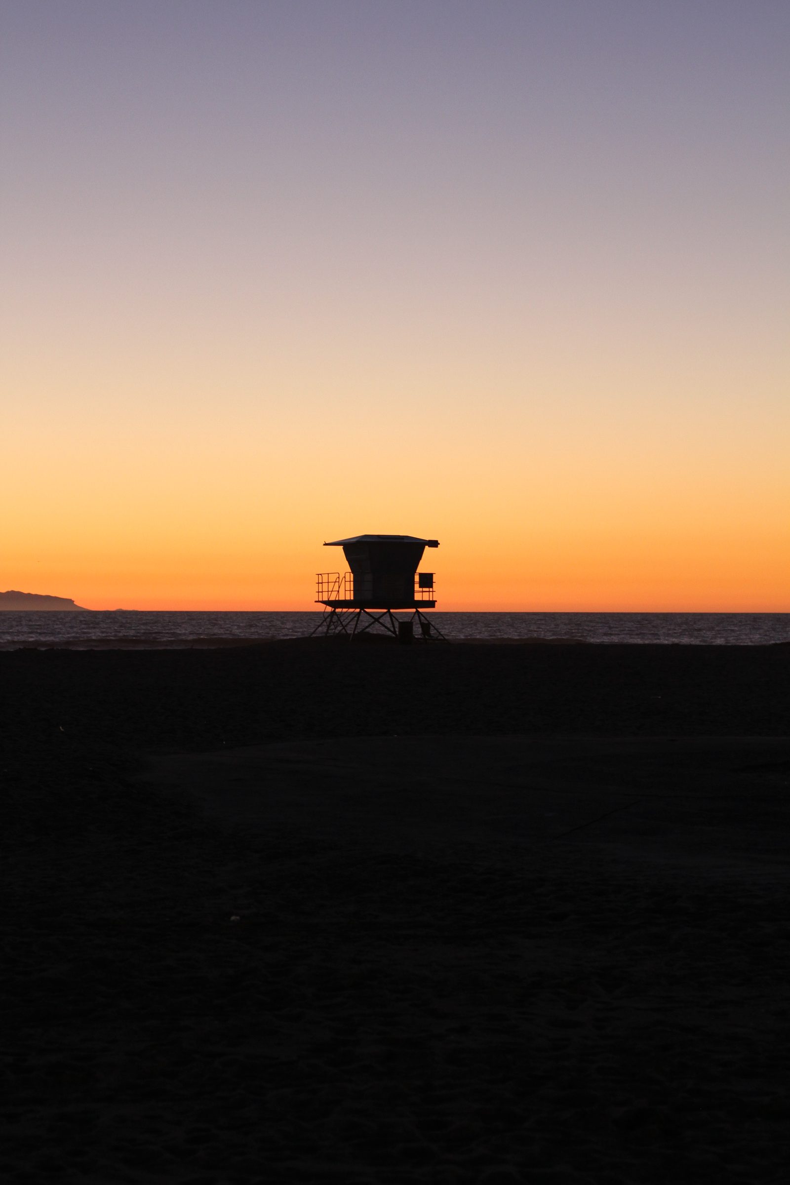
National Weather Service forecasters expect 3-to-6-foot surf across Orange and San Diego counties, dangerous rip currents and coastal flooding around 6.5-to-7-foot tides. By Sunday, tides could reach approximately 7.5 feet in the Los Angeles area, with vulnerable beaches facing considerable to significant impacts. The Weather Service has issued beach hazard warnings and coastal flood advisories for Los Angeles, Ventura, Orange and San Diego counties, with forecasters warning of life-threatening rip currents and surf reaching 5 feet to 6 feet in some areas.
NWS meteorologist Rose Schoenfeld said southerly swells generated by tropical systems coming from the south, such as Hurricane Rachel, can be more impactful than the Southern California coast typically sees, because a southerly direction hits beaches that do not always get as much high surf, and such swells increase the risk of rip currents, which she said can be very hazardous, especially for inexperienced swimmers.
The National Hurricane Center warns that Rachel-generated swells will continue building through the weekend and are likely to cause life-threatening surf and rip current conditions. Surfer reported Thursday that waves were already slamming into Long Beach seawalls and exploding several stories into the air, that city crews distributed thousands of sandbags and reinforced beach berms, and that ocean water pushed into downtown streets in Laguna Beach as high tides, hurricane swell and elevated sea levels combined along the Orange County coast.
We correct errors promptly and note them here. Request a correction through our contact form.

