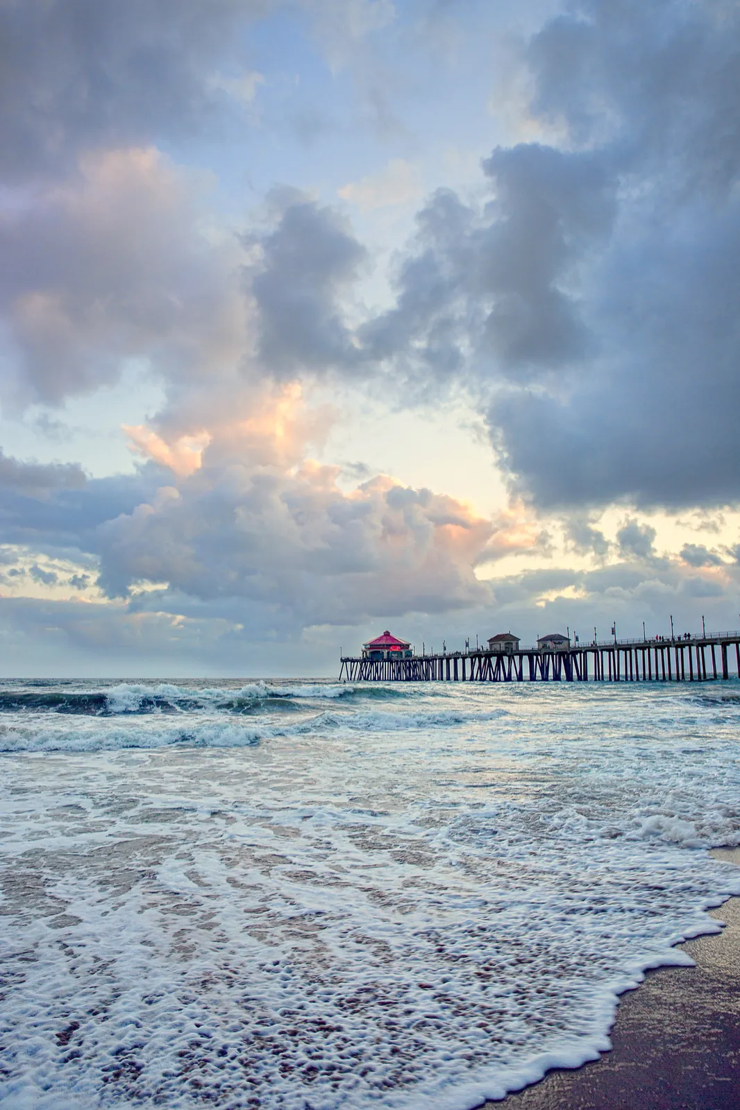
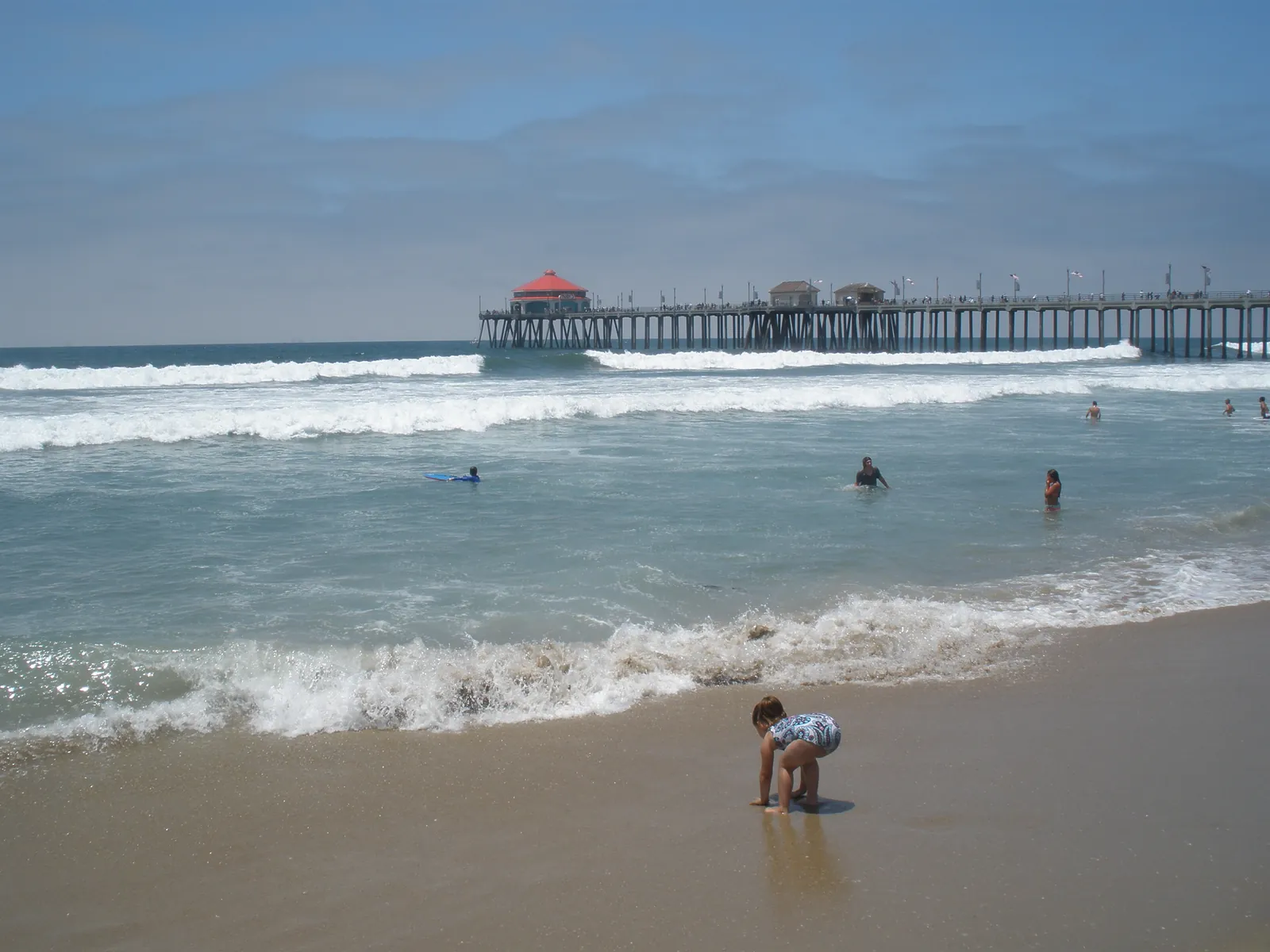
High Surf Advisory Takes Effect Friday Afternoon for Huntington Beach, With Sets to 9 Feet
Breaking waves of 5 to 7 feet, sets to 8 to 9 feet at west facing beaches and a high rip current risk run from 4 p.m. Friday to 10 a.m. Sunday. Adjusted high tides near 7 feet could push water into parking lots and boardwalks.
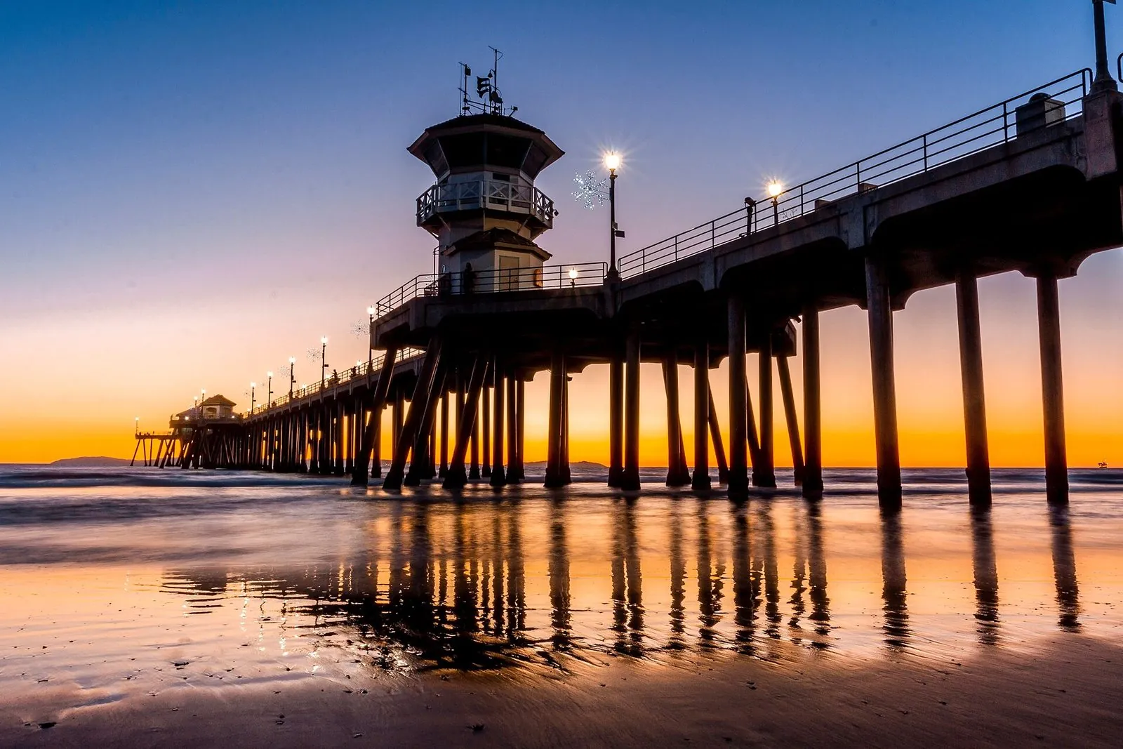
The rain that reached Huntington Beach overnight gives way to a surf problem by Friday afternoon. The National Weather Service office in San Diego has a high surf advisory in effect from 4 p.m. Friday to 10 a.m. Sunday for the Orange County coastal areas, including Huntington Beach, with large breaking waves of 5 to 7 feet and sets reaching 8 to 9 feet at west facing beaches. The office rates the rip current risk as high, and it warns of dangerous swimming and surfing conditions and localized beach erosion.
The morning came with its own shorter warning. In a beach hazards statement issued at 3:02 a.m. on Friday, the weather service warned of cloud to ground lightning at the beaches until 8 a.m. as a band of thunderstorms moved ashore, with the lightning threat expected to diminish after 8 a.m. Its surf zone forecast, issued at 1:22 a.m., put the day’s surf at 3 to 6 feet with sets to 7 feet late in the day, a high rip current risk and water temperatures of 72 to 74 degrees, and it noted that observed tides were already running 1.2 to 1.4 feet above astronomical predictions. The Weather Channel’s Huntington Beach page showed light rain and 61 degrees early on Friday.
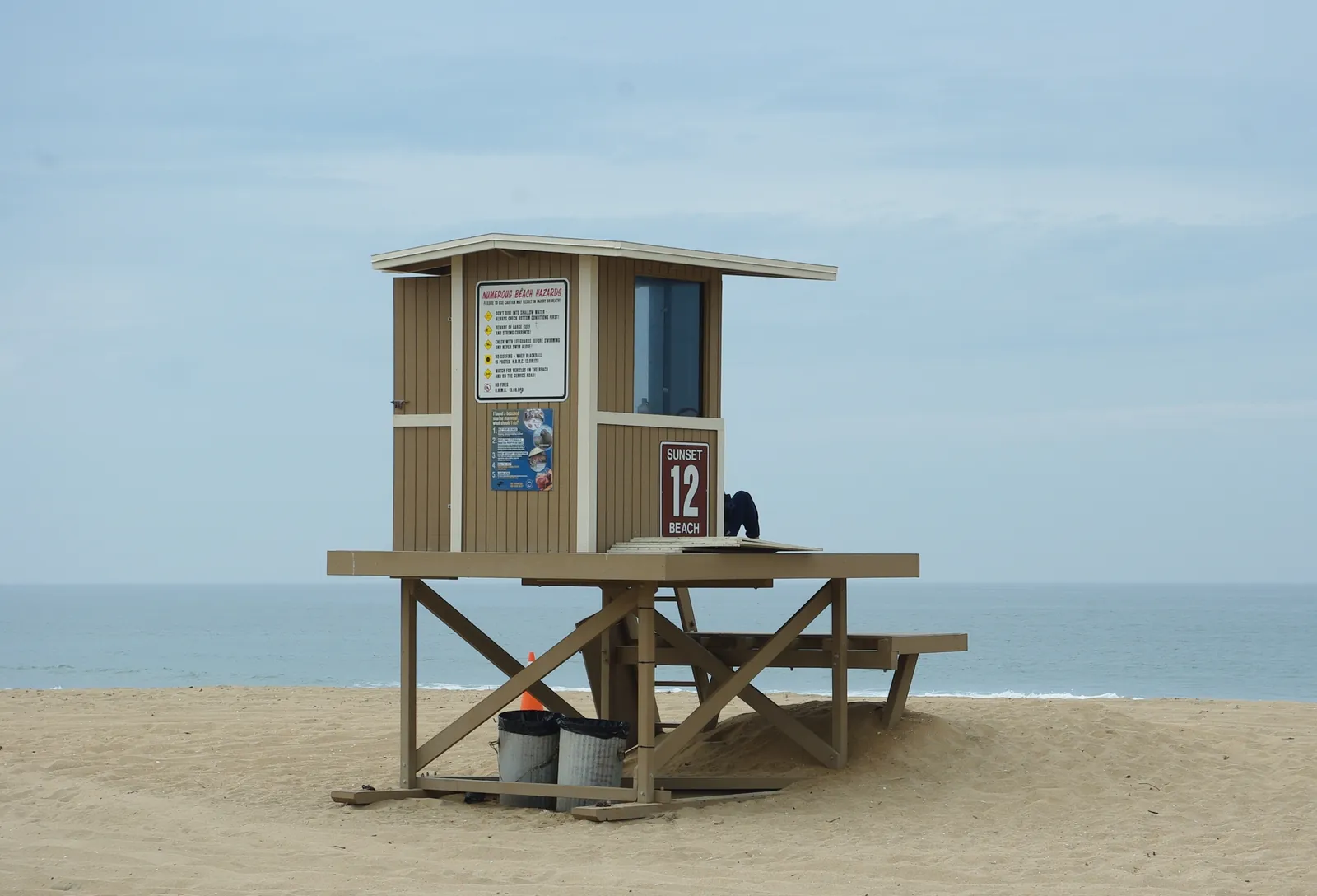
The advisory’s flooding risk comes from the combination of surf and tide rather than from the tide alone. Tides will be falling across the advisory period, the weather service says, but adjusted high tides will still be near 7 feet, and that water, combined with the high surf, could produce localized beach erosion and overflow into parking lots and boardwalks. The surf eases on Sunday afternoon, though west facing beaches may still see elevated waves on Monday, and the office advises swimmers without ocean experience to stay on the sand. This advisory is separate from the king tide coastal flood advisory that ended at noon on Tuesday: the driver this weekend is the surf, with the still elevated tides as a contributor.
The zone forecast for the Orange County coast calls for cloudy skies with showers on Friday morning and a chance of showers in the afternoon, highs of 68 to 72 degrees and south winds of 10 to 15 mph with gusts to 25 mph in the afternoon. Showers are likely again overnight, with lows of 55 to 59 degrees and gusts reaching 30 mph. Saturday brings a slight chance of showers in the morning, then mostly sunny skies and highs around 70, and Sunday is partly cloudy with highs of 70 to 74. The Weather Channel put Friday’s Huntington Beach high at 70 degrees, with about a quarter inch of rain for the day.

We correct errors promptly and note them here. Request a correction through our contact form.