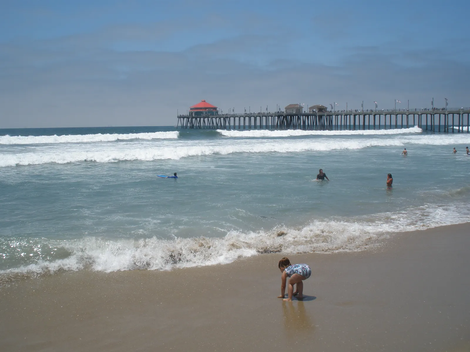
Fresh Swell Arrives Monday Afternoon, With Breaking Waves of 6 to 9 Feet and Sets to 11
The high surf advisory holds to 4 a.m. Wednesday. The weather service says the surf eased a little from the weekend before the new swell builds it back up this afternoon.

The surf at Huntington Beach gets a second wind on Monday. In a coastal hazard message issued at 12:47 a.m. on Monday, the National Weather Service office in San Diego kept its high surf advisory for the Orange County coastal areas in effect until 4 a.m. on Wednesday, Nov. 18, and raised the headline figures: large breaking waves of 6 to 9 feet, with sets to 11 feet along west facing beaches, and very strong rip currents. The office says the weekend peak has eased slightly, and that a fresh swell arriving this afternoon will build the surf again. The listed impacts are dangerous swimming and surfing conditions and localized beach erosion, and the office advises inexperienced swimmers to remain out of the water.
The office surf zone forecast, issued at 1:05 a.m. on Monday, puts the surf height today for the Orange County coast at 4 to 7 feet with sets to 8 feet, and Tuesday at 5 to 8 feet with sets to 9 feet, with a high rip current risk on both days. That daytime surf height sits alongside, rather than against, the hazard message breaking wave range of 6 to 9 feet with sets to 11 feet at west facing beaches, because the two products measure the surf differently. The forecast puts today's water temperature at 69 to 73 degrees, notes a slight chance of thunderstorms today and none expected on Tuesday, and describes Tuesday's swell as arriving from the west at 280 degrees. It also notes that observed tides are running 1.2 to 1.4 feet above astronomical tide predictions. The advisory is the same one this desk reported on Sunday, extended then to Wednesday morning; Monday's message holds that end time while lifting the expected wave heights for the new swell.

We correct errors promptly and note them here. Request a correction through our contact form.