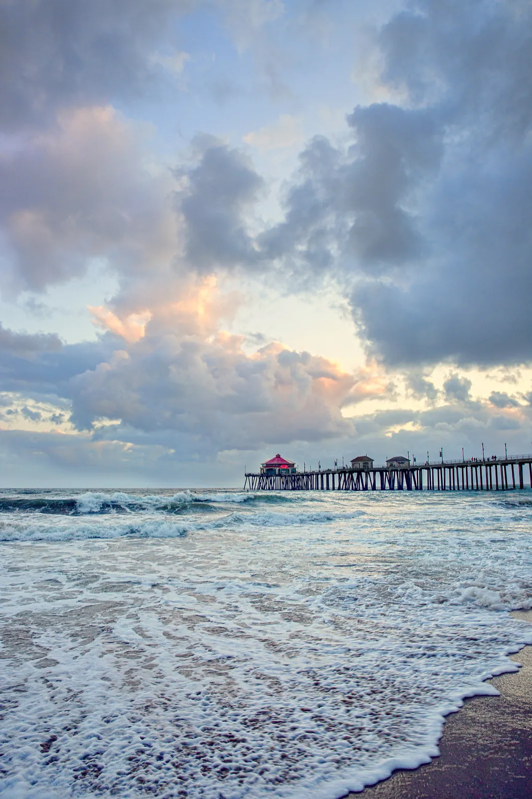
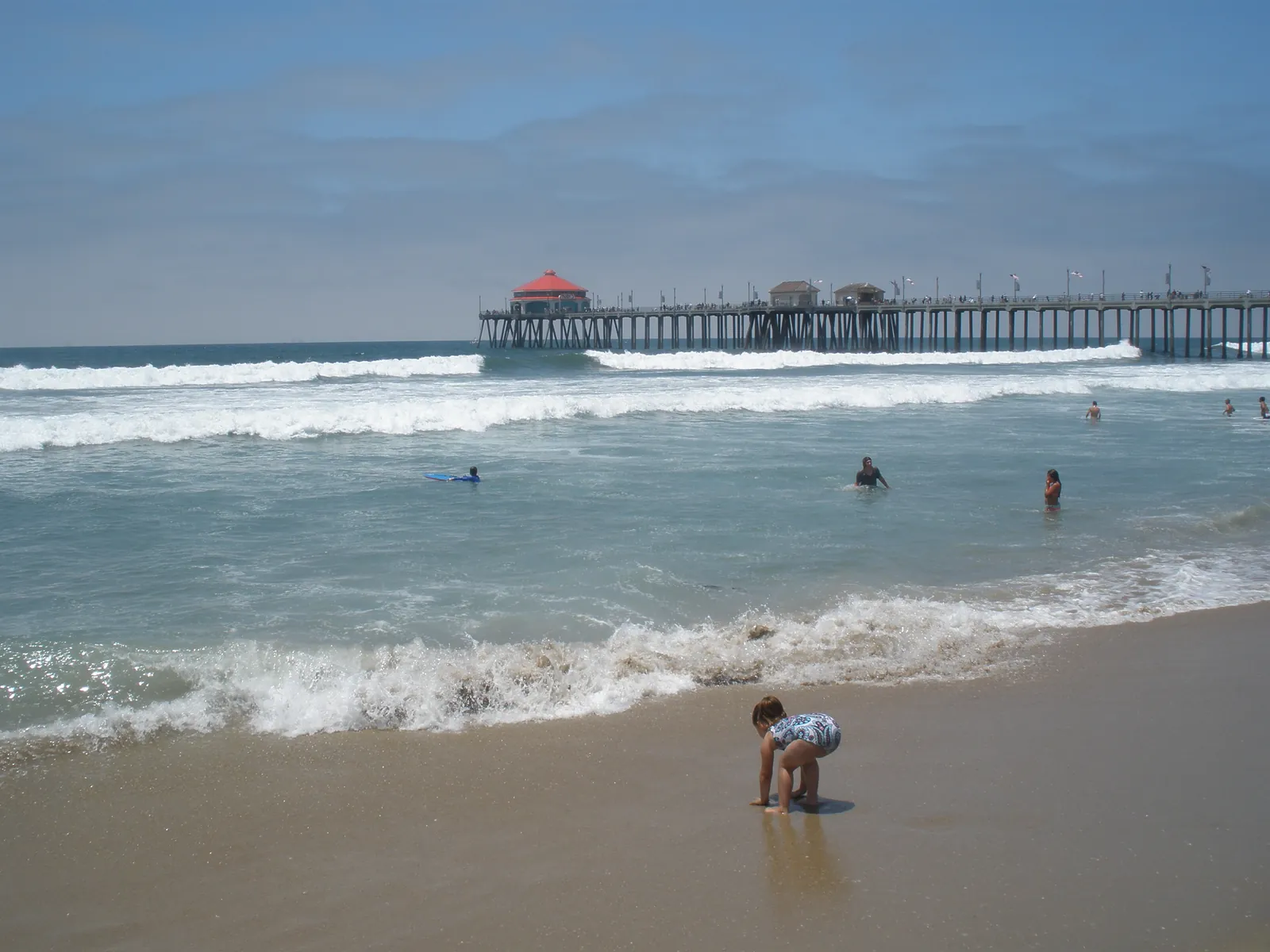
Highest Surf of the Advisory Reaches Huntington Beach on Monday as Flooding Holds
A growing northwest swell pushes surf to 4 to 7 feet on west facing beaches while the Monday morning tide peaks at 7.2 to 7.4 feet, and the coastal flood advisory runs to its last full day before ending at noon Tuesday.
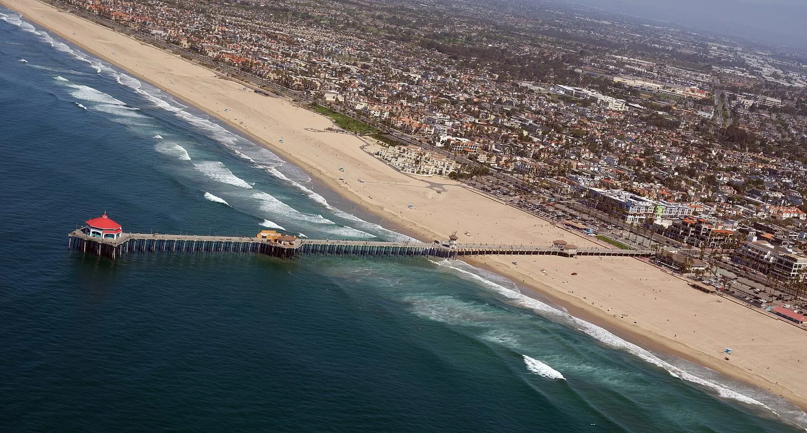
Monday is the biggest surf day of the current coastal flood advisory on the Huntington Beach coast. The National Weather Service office in San Diego kept Orange County coastal areas under the advisory in a coastal hazard message issued at 5:06 a.m. on Monday, Nov. 9, and the advisory stays in effect until noon on Tuesday, Nov. 10, with minor to locally moderate coastal flooding expected through its end.
The morning high tide peaks at 7.2 to 7.4 feet on Monday, which the service puts at 1.2 to 1.4 feet above the astronomical tide predictions for the same time. Forecasters expect tides above 7 feet on each morning through Tuesday, so Monday morning and Tuesday morning both carry the flooding risk before the advisory expires at midday Tuesday.

What sets Monday apart from the rest of the stretch is the swell. In its Sunday night forecast discussion, the weather service described a northwest swell of 2 to 3 feet at a period of 14 to 15 seconds that produced surf of 3 to 6 feet on west facing beaches on Sunday, growing to 3 to 4 feet on Monday and lifting surf on west facing beaches to 4 to 7 feet through Tuesday. The Monday message adds that higher surf today could prolong the coastal impacts, and the discussion notes that flooding can reach the moderate level locally along west facing beaches, where the surf runs highest.
The Monday numbers sit slightly below the ones the service published early on Sunday, when it expected tide peaks of 7.4 to 7.6 feet on Sunday and Monday, at 1.3 to 1.6 feet above predictions. The expected impacts are unchanged: water spreading over parking lots and low roads, with closures expected to stay few and scattered. The county Health Care Agency's beach status page lists no ocean, harbor or bay water closure and no water quality advisory in effect, so the water now pushing onto low ground is a tidal flooding problem, not a bacteria closure of the kind the county posts after spills or heavy runoff.
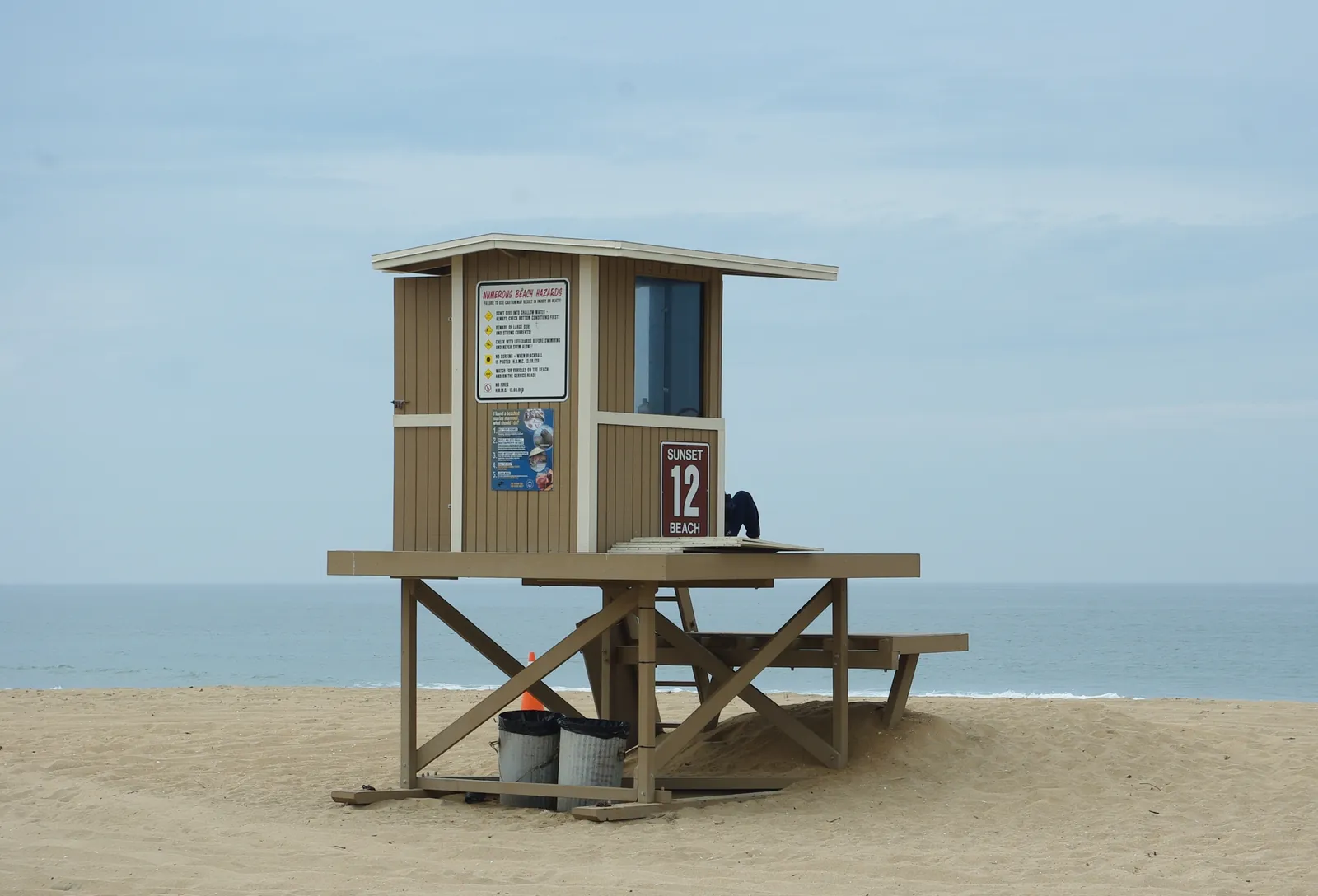
Drivers crossing the advisory area should budget extra travel time, since closures are possible, and should never pass a barricade or enter standing water without knowing its depth. Owners of property in spots that flood should take steps to protect it. On the sand, the advice is to keep clear of sea walls and jetties and to stand well back from the waterline, because incoming waves will push higher up the beach than they appear likely to, above all while the tide is high or still rising.
We correct errors promptly and note them here. Request a correction through our contact form.