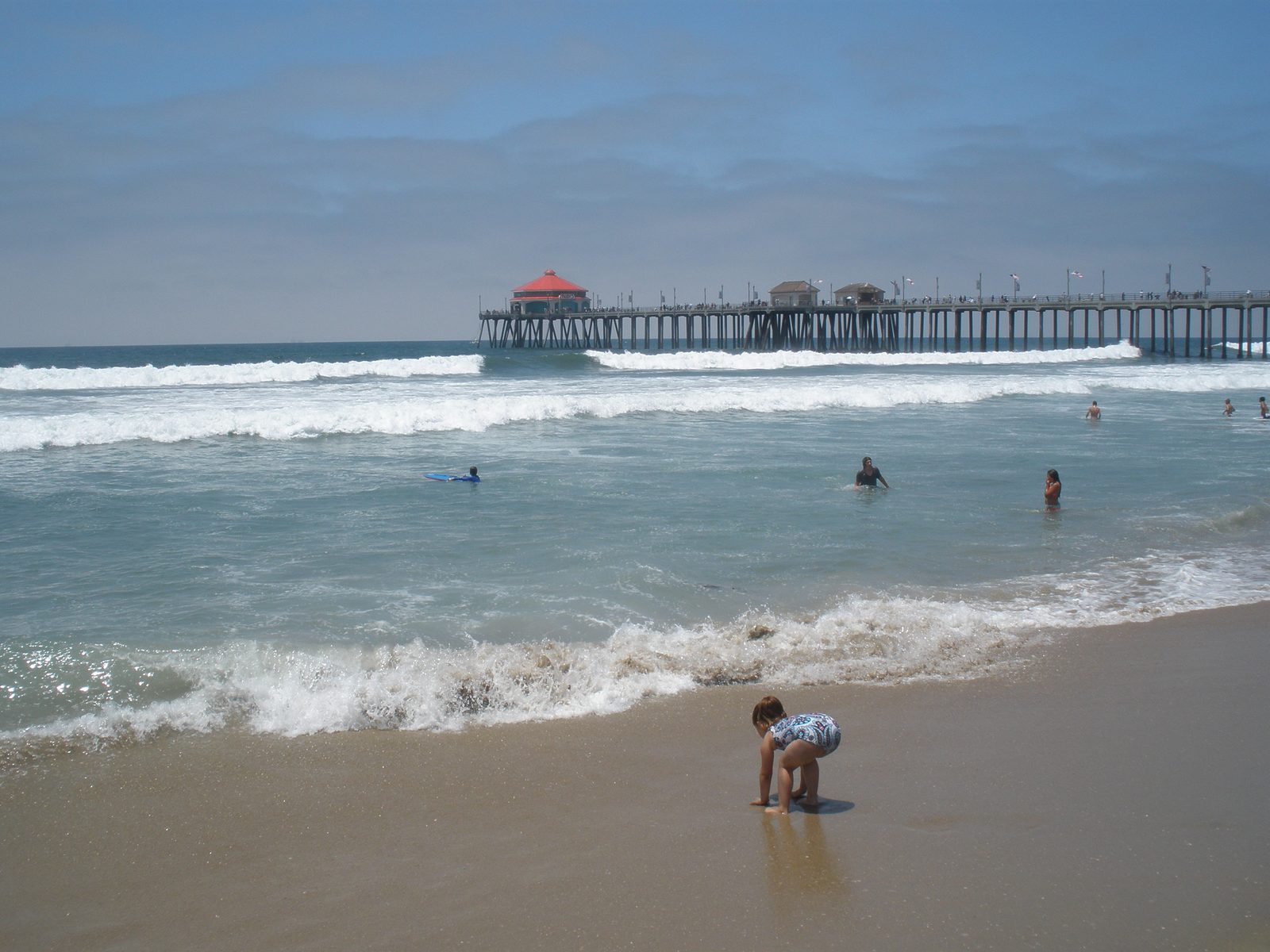
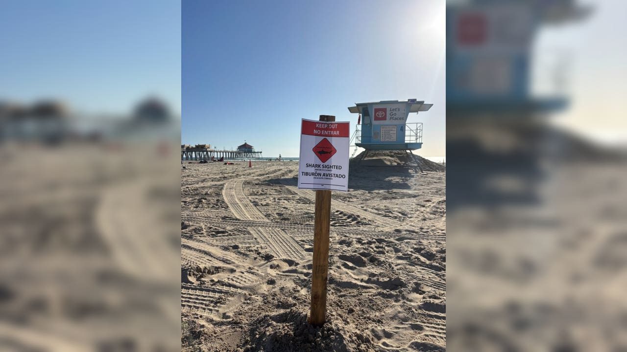
Beach hazards run through Tuesday night as a midweek storm lines up rain for Wednesday and Thursday
The National Weather Service kept its beach hazards statement in effect through 11 p.m. Tuesday with surf of 3 to 5 feet, and a low pressure system moving down the California coast is expected to bring the area its first traditional storm of the season.

The beach hazards statement that has covered the Orange County coast since Sunday now runs through Tuesday evening, the National Weather Service said in an updated coastal hazard message issued at 1:59 a.m. on Tuesday. Surf is expected at 3 to 5 feet, with local sets to 6 feet, and the highest surf is expected on south and southwest facing beaches.
Dangerous rip currents and breaking waves remain the central threat through 11 p.m. on Tuesday. The weather service warned that the surf zone will be treacherous for swimmers through the evening: strong currents can drag people seaward, breakers can knock people off rocks and beaches, and small boats close to shore face a capsizing risk. Some erosion is possible on beaches that face south.
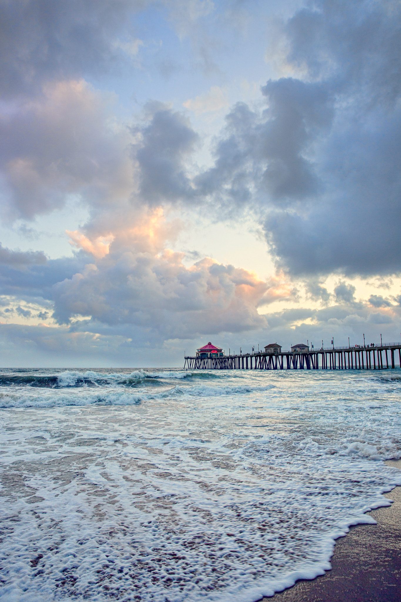
The weather service urged anyone heading to the sand to read posted signs and flags first, check in with a lifeguard before getting in, take care around the waterline, and stay within reach of a staffed tower while the statement lasts.
Attention then shifts to a low pressure system sliding down the California coast before it pushes inland. Forecasters say it should deliver the season's first conventional storm on Wednesday and Thursday: Wednesday should start with light rain, with showers taking over overnight into Thursday and a slight chance of thunderstorms mixed in. In Orange County, forecasters put the greatest likelihood of showers and a slight chance of thunderstorms on Wednesday night through Thursday morning.
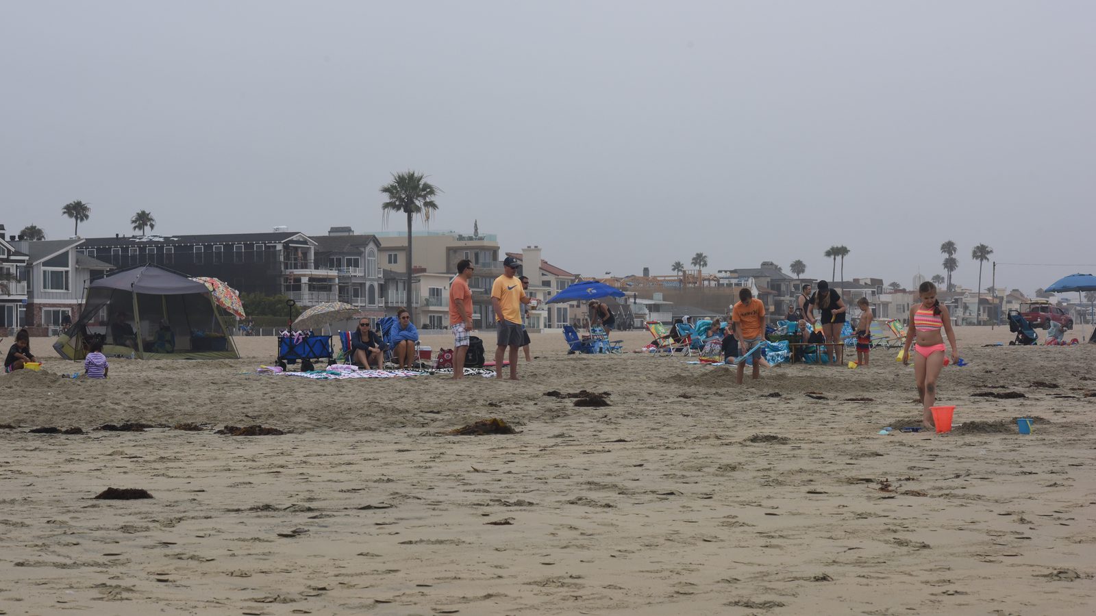
The storm also cools the coast down after last week's heat. Orange County coastal highs are expected in the lower to mid 70s on Wednesday and the upper 60s to around 70 on Thursday, according to the weather service outlook reported on Monday. Rain is expected to taper off by Thursday evening or shortly after midnight, followed by clearing skies on Friday and warmer weather for the weekend, when a mild Santa Ana pattern may set up.
Rainfall totals will depend on where thunderstorms form. The weather service outlook for Los Angeles County put most areas at three quarters of an inch to 1 inch, with totals reaching 2 inches in the foothills and along coastal mountain slopes, and noted a chance that amounts could run higher.
We correct errors promptly and note them here. Request a correction through our contact form.